IMAGES TAKEN NEAR TO
Mays Lane, BARNET, EN5 2EF
Introduction
This page details the photographs taken nearby to Mays Lane, EN5 2EF by members of the Geograph project.
The Geograph project started in 2005 with the aim of publishing, organising and preserving representative images for every square kilometre of Great Britain, Ireland and the Isle of Man.

There are currently over 7.5m images from over14,400 individuals and you can help contribute to the project by visiting https://www.geograph.org.uk
Image Map
Images are licensed for reuse under creativecommons.org/licenses/by-sa/2.0
Notes
- Clicking on the map will re-center to the selected point.
- The higher the marker number, the further away the image location is from the centre of the postcode.
Image Listing (122 Images Found)
Images are licensed for reuse under creativecommons.org/licenses/by-sa/2.0
Image
Details
Distance
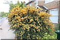
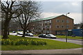
5
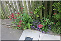
Flowers on Mays Lane, Barnet
Signs of spring
Image: © David Howard
Taken: 24 Apr 2022
0.04 miles
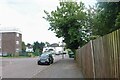
7
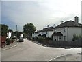
Brent Place, Barnet
Cul-de-sac off Mays Lane, Barnet.
Image: © Christine Matthews
Taken: 28 Sep 2005
0.05 miles
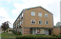
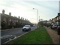
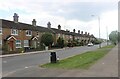
9
Flats on Barnet Lane, from Underhill
Image: © Christopher Hilton
Taken: 21 Mar 2016
0.06 miles