
IMAGES TAKEN NEAR TO
Ferney Road, BARNET, EN4 8LB
Introduction
This page details the photographs taken nearby to Ferney Road, EN4 8LB by members of the Geograph project.
The Geograph project started in 2005 with the aim of publishing, organising and preserving representative images for every square kilometre of Great Britain, Ireland and the Isle of Man.

There are currently over 7.5m images from over14,400 individuals and you can help contribute to the project by visiting https://www.geograph.org.uk
Image Map
Images are licensed for reuse under creativecommons.org/licenses/by-sa/2.0
Notes
- Clicking on the map will re-center to the selected point.
- The higher the marker number, the further away the image location is from the centre of the postcode.
Image Listing (81 Images Found)
Images are licensed for reuse under creativecommons.org/licenses/by-sa/2.0
Image
Details
Distance
2
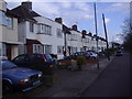
Brookside South, Southgate
Looking towards Hampden Square
Image: © David Howard
Taken: 25 Sep 2013
0.07 miles
3
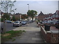
Brookside "East Side"
Houses on East Side of Pymme's Brook on corner of Uplands Road
Image: © Christine Matthews
Taken: 30 Aug 2005
0.07 miles
4
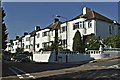
St Martin, Brookside South, Barnet, EN4
Disused church
Image: © John Salmon
Taken: 29 Apr 2005
0.08 miles
5
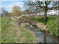
Small weir on Pymme's Brook
There is a small notch in the weir taking all the flow at the present low flow rate.
Image: © Robin Webster
Taken: 6 Apr 2013
0.08 miles
6
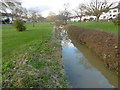
Pymme's Brook seen from Uplands Road
This view of Pymme's Brook looks upstream from Uplands Road. West Walk is to the left and East Walk to the right. This open space is between Brunswick Park to the south and Oak Hill Park to the north.
Pymme's Brook is named after William Pymme, a local land owner. The brook rises in Hadley Wood and flows in a south-easterly direction to merge with the River Lee Navigation at Tottenham. Much of the route, including here, is followed by the Pymme's Brook Trail.
See https://en.wikipedia.org/wiki/Pymmes_Brook_Trail for more information.
Image: © Marathon
Taken: 10 Feb 2016
0.08 miles
7
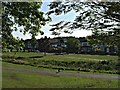
Brookside from park
Brookside with Pymme's Brook looking towards Osidge Lane.
Image: © Christine Matthews
Taken: 30 Aug 2005
0.08 miles
8
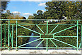
Pymme's Brook through the Railings
Uplands Road crosses Pymme's Brook on a bridge with rather nice decorative railings.
Image: © Des Blenkinsopp
Taken: 25 Sep 2018
0.09 miles
9
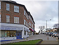
Brookside South, East Barnet
Brookside South as seen from Hampden Square.
Image: © Christine Matthews
Taken: 9 Dec 2008
0.09 miles
10
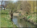
Small weir on Pymme's Brook
There is a hole in the weir taking all the flow at the present low flow rate.
Image: © Robin Webster
Taken: 6 Apr 2013
0.10 miles