IMAGES TAKEN NEAR TO
Warmington Close, LONDON, E5 0BX
Introduction
This page details the photographs taken nearby to Warmington Close, E5 0BX by members of the Geograph project.
The Geograph project started in 2005 with the aim of publishing, organising and preserving representative images for every square kilometre of Great Britain, Ireland and the Isle of Man.

There are currently over 7.5m images from over14,400 individuals and you can help contribute to the project by visiting https://www.geograph.org.uk
Image Map
Images are licensed for reuse under creativecommons.org/licenses/by-sa/2.0
Notes
- Clicking on the map will re-center to the selected point.
- The higher the marker number, the further away the image location is from the centre of the postcode.
Image Listing (104 Images Found)
Images are licensed for reuse under creativecommons.org/licenses/by-sa/2.0
Image
Details
Distance

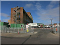
3

London, Millfields Road - 1973
London, Millfields Road, Clapton Stadium Greyhound Racecourse.
Image: © Helmut Zozmann
Taken: 8 Jul 1973
0.08 miles
4
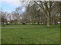
Industry by South Millfields Recreational Ground
Image: © Hugh Venables
Taken: 8 Mar 2015
0.09 miles
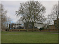
6
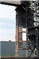
London, Hackney Power Station - 1973
Hackney Power Station (also known as Millfields Power Station) was a coal-fired power station situated at Lea Bridge on the River Lee Navigation in London.
Image: © Helmut Zozmann
Taken: 7 Jul 1973
0.12 miles
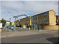
9
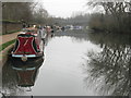
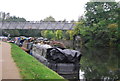
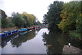
Boats on the Lea
Canal boats moored on the River Lea.
Image: © Dave Pickersgill
Taken: 11 Jan 2013
0.13 miles