IMAGES TAKEN NEAR TO
Ordell Road, LONDON, E3 2HF
Introduction
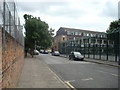
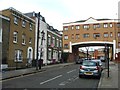
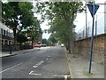
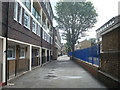
This page details the photographs taken nearby to Ordell Road, E3 2HF by members of the Geograph project.
The Geograph project started in 2005 with the aim of publishing, organising and preserving representative images for every square kilometre of Great Britain, Ireland and the Isle of Man.

There are currently over 7.5m images from over14,400 individuals and you can help contribute to the project by visiting https://www.geograph.org.uk
Image Map (62 Images)


Getting Data...Please wait
Leaflet Map data © OpenStreetMap
Images are licensed for reuse under creativecommons.org/licenses/by-sa/2.0
Notes
- Clicking on the map will re-center to the selected point.
- The higher the marker number, the further away the image location is from the centre of the postcode.
Image Listing (62 Images Found)
Images are licensed for reuse under creativecommons.org/licenses/by-sa/2.0
Image
Details
Distance
6
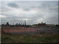
View of Canary Wharf and the Bow Quarter Estate (former Bryant & May match factory) from the Greenway
Looking south-southwest.
Image: © Robert Lamb
Taken: 8 Jan 2012
0.10 miles
7
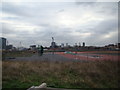
View of Canary Wharf from the Greenway
Looking south-southwest.
Image: © Robert Lamb
Taken: 8 Jan 2012
0.10 miles