IMAGES TAKEN NEAR TO
Wharf Place, LONDON, E2 9BD
Introduction
This page details the photographs taken nearby to Wharf Place, E2 9BD by members of the Geograph project.
The Geograph project started in 2005 with the aim of publishing, organising and preserving representative images for every square kilometre of Great Britain, Ireland and the Isle of Man.

There are currently over 7.5m images from over14,400 individuals and you can help contribute to the project by visiting https://www.geograph.org.uk
Image Map
Images are licensed for reuse under creativecommons.org/licenses/by-sa/2.0
Notes
- Clicking on the map will re-center to the selected point.
- The higher the marker number, the further away the image location is from the centre of the postcode.
Image Listing (481 Images Found)
Images are licensed for reuse under creativecommons.org/licenses/by-sa/2.0
Image
Details
Distance
1
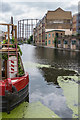
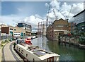
Regent's Canal
Looking along Regent's Canal, with London Wharf on the right and a gasholder in the former Bethnal Green gasworks in the background.
Image: © Ian Capper
Taken: 13 Jul 2019
0.00 miles

5
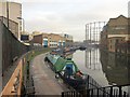
Regent's Canal, Haggerston
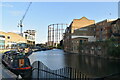
Taken from beside the Cat and Mutton Bridge, and roughly a reverse view of Image
Image: © Derek Harper
Taken: 7 Jan 2011
0.01 miles
7
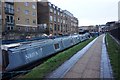
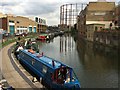
Regent's Canal
Narrowboats moored on the Regent's Canal with London Wharf and Marian Place gasholder beyond
Image: © Richard Croft
Taken: 26 Jul 2017
0.01 miles
8
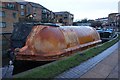
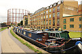
Former lifeboat on the Regent's Canal at Haggerston
Image: © Ian S
Taken: 27 Jan 2020
0.02 miles