IMAGES TAKEN NEAR TO
Hunslett Street, LONDON, E2 0NH
Introduction
This page details the photographs taken nearby to Hunslett Street, E2 0NH by members of the Geograph project.
The Geograph project started in 2005 with the aim of publishing, organising and preserving representative images for every square kilometre of Great Britain, Ireland and the Isle of Man.

There are currently over 7.5m images from over14,400 individuals and you can help contribute to the project by visiting https://www.geograph.org.uk
Image Map
Images are licensed for reuse under creativecommons.org/licenses/by-sa/2.0
Notes
- Clicking on the map will re-center to the selected point.
- The higher the marker number, the further away the image location is from the centre of the postcode.
Image Listing (139 Images Found)
Images are licensed for reuse under creativecommons.org/licenses/by-sa/2.0
Image
Details
Distance
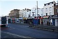
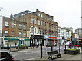
5
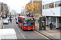
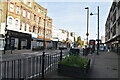
Roman Road, Bethnal Green
Seen from the top deck of a 106 bus which was on diversion due to road works on Cambridge Heath Road. In the opposite direction is a D6 working from Crossharbour to Hackney Central.
Image: © Martin Addison
Taken: 16 Nov 2012
0.08 miles

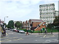
7
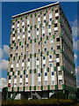
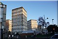
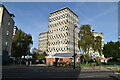
Alzette House, Cranbrook Estate
One of the blocks that form Bethnal Green's Cranbrook Estate.
Image: © Stephen McKay
Taken: 9 Oct 2015
0.09 miles