
IMAGES TAKEN NEAR TO
Odnall Lane, STOURBRIDGE, DY9 9PW
Introduction
This page details the photographs taken nearby to Odnall Lane, DY9 9PW by members of the Geograph project.
The Geograph project started in 2005 with the aim of publishing, organising and preserving representative images for every square kilometre of Great Britain, Ireland and the Isle of Man.

There are currently over 7.5m images from over14,400 individuals and you can help contribute to the project by visiting https://www.geograph.org.uk
Image Map
Images are licensed for reuse under creativecommons.org/licenses/by-sa/2.0
Notes
- Clicking on the map will re-center to the selected point.
- The higher the marker number, the further away the image location is from the centre of the postcode.
Image Listing (66 Images Found)
Images are licensed for reuse under creativecommons.org/licenses/by-sa/2.0
Image
Details
Distance
1
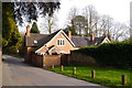
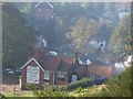
Former charity school on Odnall Lane, Clent
A plaque on the building states that it was originally a charity school and Master's house (1705-1974). The school was founded by John Amphlett.
Image: © Phil Champion
Taken: 21 Apr 2014
0.04 miles
2
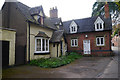
House and former school on Odnall Lane, Clent
A plaque on the red brick building states that it was originally a charity school and Master's house (1705-1974). The school was founded by John Amphlett.
Image: © Phil Champion
Taken: 21 Apr 2014
0.05 miles
3
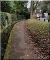
Path and stream alongside Odnall Lane, Clent
Image: © Phil Champion
Taken: 21 Apr 2014
0.07 miles
4
Clent Village Green looking towards Lower Clent
Image: © Geoff Gartside
Taken: 7 Apr 2007
0.07 miles
6
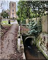
Elsie Partington Walk in Clent
Near St Leonard church.
Image: © Mat Fascione
Taken: 11 Feb 2023
0.09 miles
7
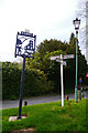
Village sign and signpost near the parish church at Clent
Image: © Phil Champion
Taken: 21 Apr 2014
0.11 miles
8
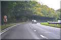
Clent : Stourbridge Road A491
Looking along Stourbridge Road through Clent.
Image: © Lewis Clarke
Taken: 29 Sep 2019
0.11 miles
9
Adams Hill - Clent
Adams Hill is situated at the foot of the Clent Hills. This side of Clent is the 'Tourist' side where visitors can stop at one of the pubs or restaurants. The photo has been taken looking south to the 'Hill Tavern' and village. The road still has evidence of the past in the form of an old gas lantern street light (unfortunately not in working condition) that can be found towards the top of the road just below the Four Stones restaurant.
Image: © Dan Quinn
Taken: 5 Nov 2006
0.11 miles
10
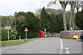
Clent Village Green
Outside St Leonard's Church
Image: © Geoff Gartside
Taken: 7 Apr 2007
0.11 miles