
IMAGES TAKEN NEAR TO
Platts Crescent, STOURBRIDGE, DY8 4YZ
Introduction
This page details the photographs taken nearby to Platts Crescent, DY8 4YZ by members of the Geograph project.
The Geograph project started in 2005 with the aim of publishing, organising and preserving representative images for every square kilometre of Great Britain, Ireland and the Isle of Man.

There are currently over 7.5m images from over14,400 individuals and you can help contribute to the project by visiting https://www.geograph.org.uk
Image Map
Images are licensed for reuse under creativecommons.org/licenses/by-sa/2.0
Notes
- Clicking on the map will re-center to the selected point.
- The higher the marker number, the further away the image location is from the centre of the postcode.
Image Listing (81 Images Found)
Images are licensed for reuse under creativecommons.org/licenses/by-sa/2.0
Image
Details
Distance
1
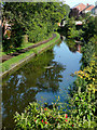
Stourbridge Canal (Town Arm) in Amblecote, Dudley
This is the Town Arm of the Stourbridge Canal, looking north-west from Wollaston Road Bridge.
Image: © Roger D Kidd
Taken: 28 Aug 2010
0.04 miles
2
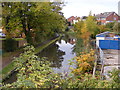
Bridge View
The view of the Stourbridge Canal from Coalbournbrook Bridge, Amblecote.
Image: © Gordon Griffiths
Taken: 20 Oct 2012
0.04 miles
3
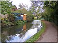
Canal Scene
The view of the Stourbridge Canal at Amblecote.
Image: © Gordon Griffiths
Taken: 22 Oct 2017
0.04 miles
4
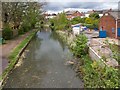
View from Coalbourne Brook Bridge
Looking NNW from Coalbourne Brook Bridge that carries the A461 Wollaston Road over the Stourbridge Town Arm of the Stourbridge Canal.
Image: © David P Howard
Taken: 8 May 2013
0.05 miles
5
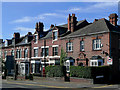
Housing in Amblecote, Dudley
These rather grand early 20th century semi-detached properties are in Audnam, Amblecote, about two hundred metres north-west of the junction with Collis Street.
Image: © Roger D Kidd
Taken: 28 Aug 2010
0.05 miles
6
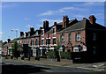
Terraced housing in Audnam, Amblecote, Dudley
This rather grand group of semi-detached residences is on the west side of Audnam by the northern of two junctions with Platts Crescent.
Image: © Roger D Kidd
Taken: 28 Aug 2010
0.06 miles
7
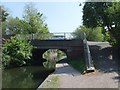
Coalbournbrook Bridge
The Stourbridge Canal passes under Wollaston Road.
Image: © Gordon Griffiths
Taken: 3 May 2007
0.07 miles
8

Platts Crescent at the junction of High Street, Amblecote
Image: © David Howard
Taken: 3 Jun 2018
0.07 miles
9
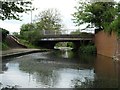
Coalbournbrook Bridge, from the south east
Carrying Wollaston Road [A461] over the Stourbridge [Town] Arm.
Image: © Christine Johnstone
Taken: 8 May 2018
0.07 miles
10
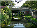
Coalbournbrook Bridge near Amblecote, Dudley
This is the Stourbridge Canal Town Arm, looking south-east towards the Stourbridge town basin. The bridge carries Wollaston Road.
Image: © Roger Kidd
Taken: 27 Aug 2010
0.07 miles