Coalbournbrook Bridge near Amblecote, Dudley
Introduction
The photograph on this page of Coalbournbrook Bridge near Amblecote, Dudley by Roger Kidd as part of the Geograph project.
The Geograph project started in 2005 with the aim of publishing, organising and preserving representative images for every square kilometre of Great Britain, Ireland and the Isle of Man.

There are currently over 7.5m images from over 14,400 individuals and you can help contribute to the project by visiting https://www.geograph.org.uk
Coalbournbrook Bridge near Amblecote, Dudley
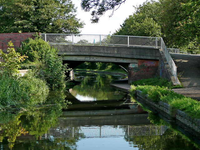
Image: © Roger Kidd Taken: 27 Aug 2010
This is the Stourbridge Canal Town Arm, looking south-east towards the Stourbridge town basin. The bridge carries Wollaston Road.
Images are licensed for reuse under creativecommons.org/licenses/by-sa/2.0
Image Location


Leaflet Map data © OpenStreetMap
Latitude
52.467516
Longitude
-2.155546