IMAGES TAKEN NEAR TO
Cove Road, DONCASTER, DN9 2BD
Introduction
This page details the photographs taken nearby to Cove Road, DN9 2BD by members of the Geograph project.
The Geograph project started in 2005 with the aim of publishing, organising and preserving representative images for every square kilometre of Great Britain, Ireland and the Isle of Man.

There are currently over 7.5m images from over14,400 individuals and you can help contribute to the project by visiting https://www.geograph.org.uk
Image Map
Images are licensed for reuse under creativecommons.org/licenses/by-sa/2.0
Notes
- Clicking on the map will re-center to the selected point.
- The higher the marker number, the further away the image location is from the centre of the postcode.
Image Listing (18 Images Found)
Images are licensed for reuse under creativecommons.org/licenses/by-sa/2.0
Image
Details
Distance
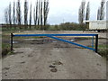
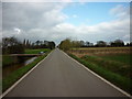
4
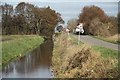
Idle Bank
The undulations in Idle Bank clearly seen near Charity Farm
Image: © Richard Croft
Taken: 9 Nov 2009
0.10 miles
7
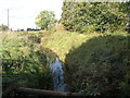
Dyke and a Pipe
This drainage dyke is one of many in this low lying area.
Image: © Michael Patterson
Taken: 30 Oct 2006
0.13 miles
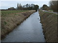
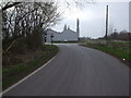
10
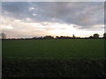
View towards Charity Farm
Under a threatening sky - which kept its threat.
Image: © Jonathan Thacker
Taken: 3 Apr 2011
0.16 miles