IMAGES TAKEN NEAR TO
Owston Ferry, DONCASTER, DN9 1BG
Introduction
This page details the photographs taken nearby to DN9 1BG by members of the Geograph project.
The Geograph project started in 2005 with the aim of publishing, organising and preserving representative images for every square kilometre of Great Britain, Ireland and the Isle of Man.

There are currently over 7.5m images from over14,400 individuals and you can help contribute to the project by visiting https://www.geograph.org.uk
Image Map
Images are licensed for reuse under creativecommons.org/licenses/by-sa/2.0
Notes
- Clicking on the map will re-center to the selected point.
- The higher the marker number, the further away the image location is from the centre of the postcode.
Image Listing (21 Images Found)
Images are licensed for reuse under creativecommons.org/licenses/by-sa/2.0
Image
Details
Distance
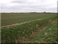
2
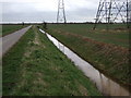
Drain beside Gunthorpe Road
Near Intake Farm.
Image: © JThomas
Taken: 28 Feb 2015
0.05 miles
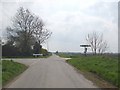
4
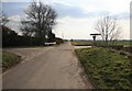
Owston Ferry Road looking at the crossroads
Image: © roger geach
Taken: 16 Mar 2010
0.07 miles

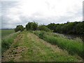
7
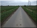
Gunthorpe Road
Heading east near Intake Farm.
Image: © JThomas
Taken: 28 Feb 2015
0.07 miles
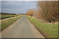
9
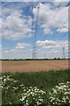
Electricity Pylons off Gunthorpe Road
Near Intake Farm.
Image: © J.Hannan-Briggs
Taken: 2 Jun 2013
0.12 miles