IMAGES TAKEN NEAR TO
Alexandra Street, DONCASTER, DN8 4EY
Introduction
This page details the photographs taken nearby to Alexandra Street, DN8 4EY by members of the Geograph project.
The Geograph project started in 2005 with the aim of publishing, organising and preserving representative images for every square kilometre of Great Britain, Ireland and the Isle of Man.

There are currently over 7.5m images from over14,400 individuals and you can help contribute to the project by visiting https://www.geograph.org.uk
Image Map
Images are licensed for reuse under creativecommons.org/licenses/by-sa/2.0
Notes
- Clicking on the map will re-center to the selected point.
- The higher the marker number, the further away the image location is from the centre of the postcode.
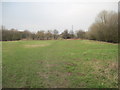
Image Listing (7 Images Found)
Images are licensed for reuse under creativecommons.org/licenses/by-sa/2.0
Image
Details
Distance
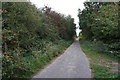
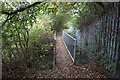
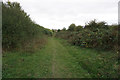
4
Footpath over common land northwest of Thorne
Image: © Martin Dawes
Taken: 29 Feb 2012
0.23 miles
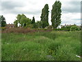
5
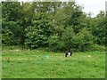
Tethered pony on North Common
Several such horses were tethered on this common land to the north of Thorne
Image: © Graham Hogg
Taken: 25 Jul 2017
0.23 miles