IMAGES TAKEN NEAR TO
Country Way, DONCASTER, DN6 7FF
Introduction
This page details the photographs taken nearby to Country Way, DN6 7FF by members of the Geograph project.
The Geograph project started in 2005 with the aim of publishing, organising and preserving representative images for every square kilometre of Great Britain, Ireland and the Isle of Man.

There are currently over 7.5m images from over14,400 individuals and you can help contribute to the project by visiting https://www.geograph.org.uk
Image Map
Images are licensed for reuse under creativecommons.org/licenses/by-sa/2.0
Notes
- Clicking on the map will re-center to the selected point.
- The higher the marker number, the further away the image location is from the centre of the postcode.
Image Listing (18 Images Found)
Images are licensed for reuse under creativecommons.org/licenses/by-sa/2.0
Image
Details
Distance
1
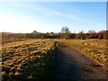
Path Crossing Former Colliery Site
Brodsworth Main Colliery was sited here.
Image: © Jonathan Clitheroe
Taken: 28 Nov 2016
0.11 miles
2
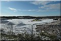
Skylark Grange construction site
Keepmoat Homes are building new houses on a former colliery site.
Image: © Christine Johnstone
Taken: 2 Feb 2019
0.12 miles
3
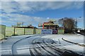
Northern boundary of new housing estate, Adwick le Street
Keepmoat Homes are building 'Skylarks Grange' on the south side of Long Lands Lane.
Image: © Christine Johnstone
Taken: 2 Feb 2019
0.12 miles
6
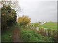
Roman Ridge at Adwick
Service reservoir to the right
Image: © John Slater
Taken: 30 Oct 2014
0.14 miles
7
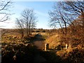
Footpath Fringing Brodsworth Community Woodland
Image: © Jonathan Clitheroe
Taken: 28 Nov 2016
0.15 miles
8
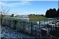
Covered reservoir, Adwick le Street
Off Fairview Avenue. The snow has melted on the south side.
Image: © Christine Johnstone
Taken: 2 Feb 2019
0.15 miles
9
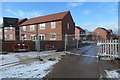
Woodland Ridge, off Ridge Balk Lane
'A select development of detached and semi-detached homes' on the western edge of Adwick le Street.
Image: © Christine Johnstone
Taken: 2 Feb 2019
0.16 miles