IMAGES TAKEN NEAR TO
Little Lane, DONCASTER, DN5 7EA
Introduction
This page details the photographs taken nearby to Little Lane, DN5 7EA by members of the Geograph project.
The Geograph project started in 2005 with the aim of publishing, organising and preserving representative images for every square kilometre of Great Britain, Ireland and the Isle of Man.

There are currently over 7.5m images from over14,400 individuals and you can help contribute to the project by visiting https://www.geograph.org.uk
Image Map
Images are licensed for reuse under creativecommons.org/licenses/by-sa/2.0
Notes
- Clicking on the map will re-center to the selected point.
- The higher the marker number, the further away the image location is from the centre of the postcode.
Image Listing (7 Images Found)
Images are licensed for reuse under creativecommons.org/licenses/by-sa/2.0
Image
Details
Distance
2
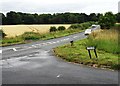
Road junction near Raven Hill
Here Little Lane meets Spring Lane
Image: © Neil Theasby
Taken: 27 Jul 2015
0.11 miles
3
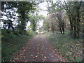
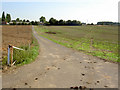
Footpath to Scawsby - not!
Sadly this footpath runs only as far as the A1(M) which blocks the route to Scawsby.
Image: © Jonathan Thacker
Taken: 30 Oct 2012
0.16 miles
4
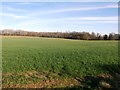
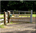
Field and Plaster Pits Wood
Pictured from a field entrance on Spring Lane. This is very scenic area but the lane is not recommended for pedestrians due to sharp bends, fast cars and tight, pathless verges.
Image: © Jonathan Clitheroe
Taken: 24 Mar 2017
0.17 miles
6
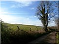
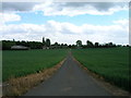
Track near Raven Hill
Effectively a dead-end road as there is no access across the motorway ahead. Raven Hill is on the left of picture.
Image: © Jonathan Clitheroe
Taken: 24 Mar 2017
0.18 miles