IMAGES TAKEN NEAR TO
The Green, DONCASTER, DN5 7BP
Introduction
This page details the photographs taken nearby to The Green, DN5 7BP by members of the Geograph project.
The Geograph project started in 2005 with the aim of publishing, organising and preserving representative images for every square kilometre of Great Britain, Ireland and the Isle of Man.

There are currently over 7.5m images from over14,400 individuals and you can help contribute to the project by visiting https://www.geograph.org.uk
Image Map (71 Images)
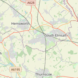
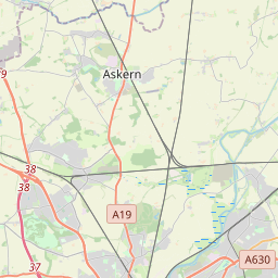
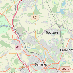
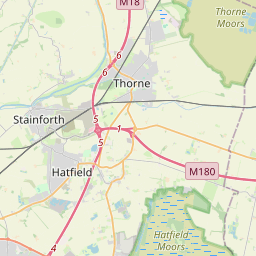

Leaflet Map data © OpenStreetMap
Images are licensed for reuse under creativecommons.org/licenses/by-sa/2.0
Notes
- Clicking on the map will re-center to the selected point.
- The higher the marker number, the further away the image location is from the centre of the postcode.
Image Listing (71 Images Found)
Images are licensed for reuse under creativecommons.org/licenses/by-sa/2.0
Image
Details
Distance


3

Gate to Broad Balk Lane Hooton Pagnell
Image: © Steve Fareham
Taken: 16 Aug 2008
0.08 miles
4

Manor Farmhouse
Grade II listed building, from the 17th century. See https://www.historicengland.org.uk/listing/the-list/list-entry/1192520
Image: © Bob Harvey
Taken: 9 Sep 2016
0.10 miles
5

Main Street
Looking North, on the way out of the village
Image: © Bob Harvey
Taken: 9 Sep 2016
0.10 miles
6

The lonely Poppy
Near the entrance to Home Farm adjacent to Broad Balk Lane.
Image: © Steve Fareham
Taken: 16 Aug 2008
0.10 miles
7

Rock Farm
Farmhouse and buildings of Rock Farm, still a working farm of some size.
The farmhouse and immediate buildings are 17th century and grade II listed: https://www.historicengland.org.uk/listing/the-list/list-entry/1151637
Image: © Bob Harvey
Taken: 9 Sep 2016
0.12 miles

9

Wooden guttering
A small lean-to with a hybrid roof. There is a stone eaves course, a pantile upper part. And wooden guttering. The lean-to itself is not keyed to the main building, and is differently coursed, and so probably a little newer.
Hurrah for the Vernacular!
This is part of Rock Farm, a grade II listed building (Image) see (https://www.historicengland.org.uk/listing/the-list/list-entry/1151637 ) for the listing details.
In the upper part of the picture is the "partial outshut" referred to in the listing, which can be explained in our own glossary at http://www.geograph.org.uk/article/Roof-Types#outshutcatslide
Image: © Bob Harvey
Taken: 9 Sep 2016
0.13 miles
