IMAGES TAKEN NEAR TO
Newhaven Terrace, GRIMSBY, DN31 2RX
Introduction
This page details the photographs taken nearby to Newhaven Terrace, DN31 2RX by members of the Geograph project.
The Geograph project started in 2005 with the aim of publishing, organising and preserving representative images for every square kilometre of Great Britain, Ireland and the Isle of Man.

There are currently over 7.5m images from over14,400 individuals and you can help contribute to the project by visiting https://www.geograph.org.uk
Image Map (13 Images)
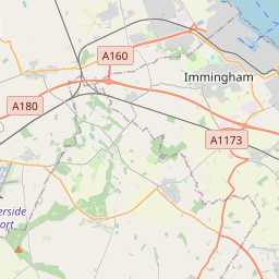
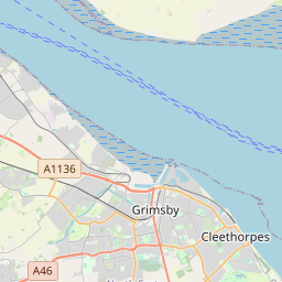
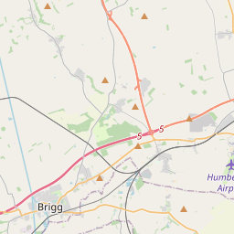

Leaflet Map data © OpenStreetMap
Images are licensed for reuse under creativecommons.org/licenses/by-sa/2.0
Notes
- Clicking on the map will re-center to the selected point.
- The higher the marker number, the further away the image location is from the centre of the postcode.
Image Listing (13 Images Found)
Images are licensed for reuse under creativecommons.org/licenses/by-sa/2.0
Image
Details
Distance
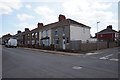
1
Elsenham Road, Pyewipe
Picture taken looking East.
Image: © David Wright
Taken: 2 Apr 2006
0.13 miles
2
River Freshney, West Marsh
From a passing excursion train.
Image: © Nigel Thompson
Taken: 26 Oct 2013
0.15 miles
3

Elsenham Road, Pyewipe
Picture taken looking approx. northwest.
Image: © David Wright
Taken: 2 Apr 2006
0.17 miles
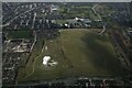
6
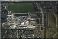
Development site on West Marsh, Grimsby: aerial 2022
Image: © Chris
Taken: 6 Mar 2022
0.23 miles
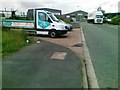
8
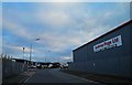
Andrew Page (automotive parts) depot Grimsby
On Birchin Way.
Image: © Steve Fareham
Taken: 8 Nov 2012
0.23 miles
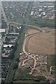
10

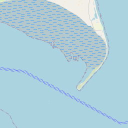
The Humber estuary from the air
Immingham and Grimsby are in the foreground, with the distinctive Spurn Point and the North Sea beyond.
Image: © Thomas Nugent
Taken: 10 Feb 2014
0.24 miles