
IMAGES TAKEN NEAR TO
Cheltenham Road, DONCASTER, DN2 6JE
Introduction
This page details the photographs taken nearby to Cheltenham Road, DN2 6JE by members of the Geograph project.
The Geograph project started in 2005 with the aim of publishing, organising and preserving representative images for every square kilometre of Great Britain, Ireland and the Isle of Man.

There are currently over 7.5m images from over14,400 individuals and you can help contribute to the project by visiting https://www.geograph.org.uk
Image Map
Images are licensed for reuse under creativecommons.org/licenses/by-sa/2.0
Notes
- Clicking on the map will re-center to the selected point.
- The higher the marker number, the further away the image location is from the centre of the postcode.
Image Listing (17 Images Found)
Images are licensed for reuse under creativecommons.org/licenses/by-sa/2.0
Image
Details
Distance
1
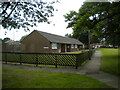
Bungalows off Henley Road, Intake
Seen from the footpath to the roundabout at the end of Shaftesbury Avenue.
Image: © Richard Vince
Taken: 26 Jun 2021
0.10 miles
2
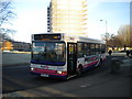
Bus at Lothian Road terminus, Intake
First South Yorkshire 40976, a Dennis Dart SLF/Plaxton Pointer, stands at the terminus of route 66 in Intake before returning to Doncaster town centre.
Image: © Richard Vince
Taken: 14 Jan 2012
0.10 miles
3
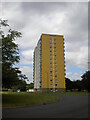
Shaftesbury House, Intake
A high rise block off flats next to the roundabout at the end of Shaftesbury Avenue, with vehicular access off Cardigan Road.
Image: © Richard Vince
Taken: 26 Jun 2021
0.12 miles
4
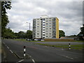
Block of flats off Shaftesbury Avenue, Intake
A fairly modestly dimensioned high rise block.
Image: © Richard Vince
Taken: 26 Jun 2021
0.13 miles
5
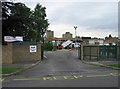
Plover Primary School
As it's half term, workmen are busy lopping trees while the kids are on holiday.
Image: © Oxana Maher
Taken: 29 May 2007
0.15 miles
6
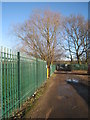
Roadway to the allotments
Sandall Beat Wood can be seen in the far distance.
Image: © Jonathan Thacker
Taken: 11 Jan 2014
0.16 miles
7
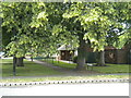
Marlow Close footpath, Intake
Linking Shaftesbury Avenue (foreground) with Marlow Road, and providing access to bungalows which are numbered as part of Marlow Close.
Image: © Richard Vince
Taken: 26 Jun 2021
0.16 miles
8
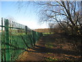
Footpath to Sandall Beat Wood
Passes between a school and an area of allotments.
Image: © Jonathan Thacker
Taken: 11 Jan 2014
0.17 miles
10
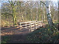
Footbridge into Sandall Beat Wood
At the north-west corner of the wood.
Image: © Jonathan Thacker
Taken: 11 Jan 2014
0.20 miles