Roadway to the allotments
Introduction
The photograph on this page of Roadway to the allotments by Jonathan Thacker as part of the Geograph project.
The Geograph project started in 2005 with the aim of publishing, organising and preserving representative images for every square kilometre of Great Britain, Ireland and the Isle of Man.

There are currently over 7.5m images from over 14,400 individuals and you can help contribute to the project by visiting https://www.geograph.org.uk
Roadway to the allotments
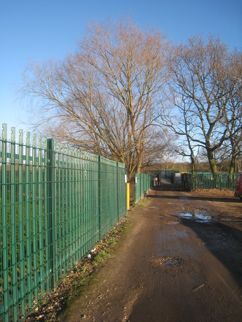
Image: © Jonathan Thacker Taken: 11 Jan 2014
Sandall Beat Wood can be seen in the far distance.
Images are licensed for reuse under creativecommons.org/licenses/by-sa/2.0
Image Location
Latitude
53.531141
Longitude
-1.085879