IMAGES TAKEN NEAR TO
Broughton Cross Roads, BRIGG, DN20 9LY
Introduction
This page details the photographs taken nearby to Broughton Cross Roads, DN20 9LY by members of the Geograph project.
The Geograph project started in 2005 with the aim of publishing, organising and preserving representative images for every square kilometre of Great Britain, Ireland and the Isle of Man.

There are currently over 7.5m images from over14,400 individuals and you can help contribute to the project by visiting https://www.geograph.org.uk
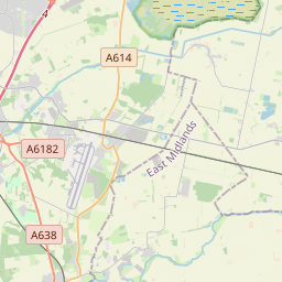
Image Map (14 Images)


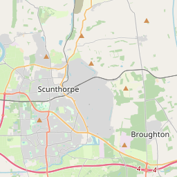
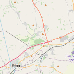
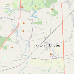
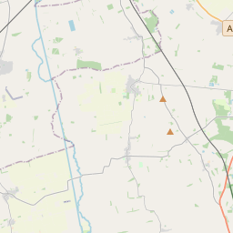

Leaflet Map data © OpenStreetMap
Images are licensed for reuse under creativecommons.org/licenses/by-sa/2.0
Notes
- Clicking on the map will re-center to the selected point.
- The higher the marker number, the further away the image location is from the centre of the postcode.
Image Listing (14 Images Found)
Images are licensed for reuse under creativecommons.org/licenses/by-sa/2.0
Image
Details
Distance
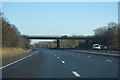
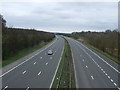
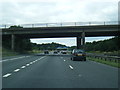
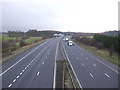
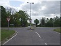
5
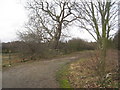
The Old Road to Broughton
The road was diverted slightly to the east when the M180 was constructed.
Image: © Jonathan Thacker
Taken: 23 Jan 2011
0.07 miles