
IMAGES TAKEN NEAR TO
Queensway, SCUNTHORPE, DN16 2JJ
Introduction
This page details the photographs taken nearby to Queensway, DN16 2JJ by members of the Geograph project.
The Geograph project started in 2005 with the aim of publishing, organising and preserving representative images for every square kilometre of Great Britain, Ireland and the Isle of Man.

There are currently over 7.5m images from over14,400 individuals and you can help contribute to the project by visiting https://www.geograph.org.uk
Image Map
Images are licensed for reuse under creativecommons.org/licenses/by-sa/2.0
Notes
- Clicking on the map will re-center to the selected point.
- The higher the marker number, the further away the image location is from the centre of the postcode.
Image Listing (24 Images Found)
Images are licensed for reuse under creativecommons.org/licenses/by-sa/2.0
Image
Details
Distance
1
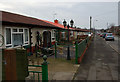
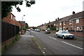
Derwent Road, Scunthorpe
A road with a large number of what appear to be prefab dwellings, all in a good state of repair.
Image: © Paul Harrop
Taken: 30 Jan 2009
0.08 miles
2
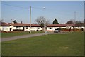
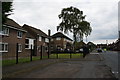
Uredale Place
1950s prefabs in Uredale Place
Image: © Richard Croft
Taken: 6 Mar 2009
0.14 miles
3
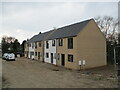
New housing on an as yet unbuilt and unnamed road, Ashby
Image: © Jonathan Thacker
Taken: 28 Mar 2022
0.15 miles
7
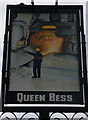
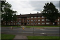
The Queen Bess on Derwent Road, Scunthorpe
A Sam Smith's public house. Queen Bess is one of the Furnaces at Scunthorpe steelworks.
Image: © Ian S
Taken: 11 Jun 2014
0.20 miles
8
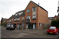
Flats on Leven Road, Ashby
Built on the site of a former church.
Image: © Ian S
Taken: 11 Jun 2014
0.21 miles
9
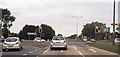
Traffic lights at Grange Lane junction
With Queensway
Image: © John Firth
Taken: 10 Jun 2013
0.21 miles
10
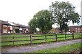
A18 approaching the junction with Grange Lane North, Scunthorpe
Image: © Chris
Taken: 29 Oct 2014
0.21 miles