IMAGES TAKEN NEAR TO
Winterton Road, SCUNTHORPE, DN15 9LX
Introduction
This page details the photographs taken nearby to Winterton Road, DN15 9LX by members of the Geograph project.
The Geograph project started in 2005 with the aim of publishing, organising and preserving representative images for every square kilometre of Great Britain, Ireland and the Isle of Man.

There are currently over 7.5m images from over14,400 individuals and you can help contribute to the project by visiting https://www.geograph.org.uk
Image Map
Images are licensed for reuse under creativecommons.org/licenses/by-sa/2.0
Notes
- Clicking on the map will re-center to the selected point.
- The higher the marker number, the further away the image location is from the centre of the postcode.
Image Listing (9 Images Found)
Images are licensed for reuse under creativecommons.org/licenses/by-sa/2.0
Image
Details
Distance
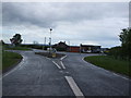
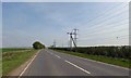
6
Mere Crossroads
Junction of A1077 and the Winteringham to Winterton road.
Image: © David Wright
Taken: 10 Sep 2005
0.07 miles
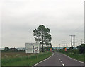
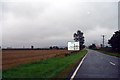
7
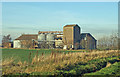
Mere farm buildings from Winterton Road
Heading towards Winteringham.
Image: © Steve Fareham
Taken: 29 Aug 2010
0.14 miles
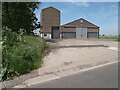
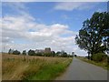
8
Mere Farm, Winteringham
Photo taken from Winterton Road.
Image: © David Wright
Taken: 12 Dec 2007
0.18 miles