IMAGES TAKEN NEAR TO
Swinburne Terrace, STANLEY, DH9 9EH
Introduction
This page details the photographs taken nearby to Swinburne Terrace, DH9 9EH by members of the Geograph project.
The Geograph project started in 2005 with the aim of publishing, organising and preserving representative images for every square kilometre of Great Britain, Ireland and the Isle of Man.

There are currently over 7.5m images from over14,400 individuals and you can help contribute to the project by visiting https://www.geograph.org.uk
Image Map
Images are licensed for reuse under creativecommons.org/licenses/by-sa/2.0
Notes
- Clicking on the map will re-center to the selected point.
- The higher the marker number, the further away the image location is from the centre of the postcode.
Image Listing (55 Images Found)
Images are licensed for reuse under creativecommons.org/licenses/by-sa/2.0
Image
Details
Distance
1
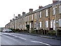
Terraced houses, Front Street, Dipton
Image: © Andrew Curtis
Taken: 20 Oct 2013
0.01 miles
2

Front Street, Dipton
View south-west along the A692 towards Leadgate and Consett.
Image: © Andrew Curtis
Taken: 20 Oct 2013
0.07 miles
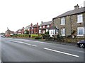
4
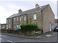
Edwards's Buildings, Front Street, Dipton
The houses on the corner of Front Street and Pontopsyde were built in 1912.
Image: © Andrew Curtis
Taken: 20 Oct 2013
0.10 miles
5
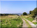
Track at Pikeside, Dipton
This track leads south from the A692, at the west end of the village, and goes up Pontop Pike. It is actually a very old path which gave access to the West Pike Well for the villagers.
Image: © Robert Graham
Taken: 26 Aug 2019
0.12 miles
6
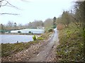
Pontop Pike Park
Tennis courts and the bowling green are on the left. There are remains of Watersons Buildings, dated 1863 further along on the right.
Image: © Andrew Curtis
Taken: 7 Jan 2011
0.12 miles
7
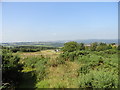
The Derwent Valley from Pikeside
Nice view over the valley from the north slopes of Pontop Pike at Dipton. The valley is well wooded in this middle section.
Image: © Robert Graham
Taken: 26 Aug 2019
0.13 miles
8
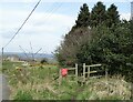
Stile beside the road to Pontop Hall
The hall can be seen on the left, in the distance. The path leading from the stile goes down into the Derwent Valley woods to Hamsterley. The sign warns people not to feed the horses which are often in the field.
Image: © Robert Graham
Taken: 11 Apr 2022
0.14 miles
9
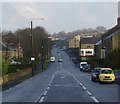
Front Street, Dipton
Dipton Front Street, looking North East.
Image: © Bluespacecat
Taken: 26 Nov 2005
0.15 miles