
IMAGES TAKEN NEAR TO
Greenways, CONSETT, DH8 7DW
Introduction
This page details the photographs taken nearby to Greenways, DH8 7DW by members of the Geograph project.
The Geograph project started in 2005 with the aim of publishing, organising and preserving representative images for every square kilometre of Great Britain, Ireland and the Isle of Man.

There are currently over 7.5m images from over14,400 individuals and you can help contribute to the project by visiting https://www.geograph.org.uk
Image Map
Images are licensed for reuse under creativecommons.org/licenses/by-sa/2.0
Notes
- Clicking on the map will re-center to the selected point.
- The higher the marker number, the further away the image location is from the centre of the postcode.
Image Listing (5 Images Found)
Images are licensed for reuse under creativecommons.org/licenses/by-sa/2.0
Image
Details
Distance
1
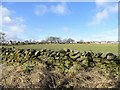
Roadside along Butsfield Lane
The dry stone wall is from a past era, probably the early 19th century. The view across the field is to the Greenways estate at Delves Lane.
Image: © Robert Graham
Taken: 17 Feb 2020
0.07 miles
2
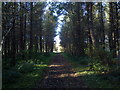
Caribees Plantation
Looking Westwards up the path through the plantation. Although this is on private land, the owner has kindly permitted public access along the path.
Image: © Robert Graham
Taken: 28 Oct 2011
0.13 miles
3
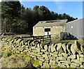
Old barn at High Castle Dene
This old outbuilding is opposite the present farmhouse on Butsfield Lane. I assume it's 19th century, and it was probably was a barn. The arched doorway looks original, not a recent addition, and this is typical for these buildings. It looks a bit neglected, but let's hope it survives.
Image: © Robert Graham
Taken: 17 Feb 2020
0.22 miles
4
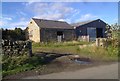
Outbuildings at High Castle Dene Farm
Some interesting old buildings at this farm near Delves Lane, Consett.
Image: © Robert Graham
Taken: 28 Oct 2011
0.22 miles
5
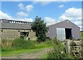
The old and the new at High Castle Dene
Old stone built cart shed and a modern animal shed in steel sheeting.
Image: © Robert Graham
Taken: 3 Aug 2021
0.24 miles