Roadside along Butsfield Lane
Introduction
The photograph on this page of Roadside along Butsfield Lane by Robert Graham as part of the Geograph project.
The Geograph project started in 2005 with the aim of publishing, organising and preserving representative images for every square kilometre of Great Britain, Ireland and the Isle of Man.

There are currently over 7.5m images from over 14,400 individuals and you can help contribute to the project by visiting https://www.geograph.org.uk
Roadside along Butsfield Lane
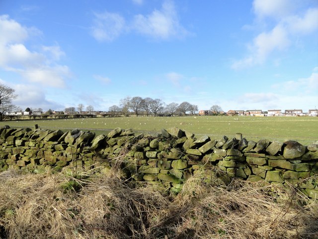
Image: © Robert Graham Taken: 17 Feb 2020
The dry stone wall is from a past era, probably the early 19th century. The view across the field is to the Greenways estate at Delves Lane.
Images are licensed for reuse under creativecommons.org/licenses/by-sa/2.0
Image Location
Latitude
54.840615
Longitude
-1.807205