
IMAGES TAKEN NEAR TO
Calcutta Road, ANNAN, DG12 6PT
Introduction
This page details the photographs taken nearby to Calcutta Road, DG12 6PT by members of the Geograph project.
The Geograph project started in 2005 with the aim of publishing, organising and preserving representative images for every square kilometre of Great Britain, Ireland and the Isle of Man.

There are currently over 7.5m images from over14,400 individuals and you can help contribute to the project by visiting https://www.geograph.org.uk
Image Map
Images are licensed for reuse under creativecommons.org/licenses/by-sa/2.0
Notes
- Clicking on the map will re-center to the selected point.
- The higher the marker number, the further away the image location is from the centre of the postcode.
Image Listing (94 Images Found)
Images are licensed for reuse under creativecommons.org/licenses/by-sa/2.0
Image
Details
Distance
1
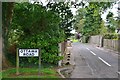
Ottawa Road, Eastriggs
Another name in the Commonwealth theme in this planned village that housed some of the workforce in the vast cordite factory complex in World War 1.
Image: © Jim Barton
Taken: 8 Aug 2016
0.07 miles
3
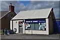
Shop and newsagents, Eastriggs
A local shop on Annan Road, not far from the Devil's Porridge Museum.
Image: © Jim Barton
Taken: 8 Aug 2016
0.07 miles
4
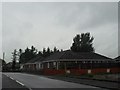
Housing at Eastriggs
Off the B721 running through the village.
Image: © James Denham
Taken: 10 Sep 2010
0.09 miles
5
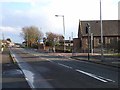
Annan Road, Eastriggs
The B721 forms the spine of this village which grew up to house munitions workers during World War I. The main road carries National Cycle Network route 7 which follows a circuitous course between Inverness and Sunderland.
Image: © Oliver Dixon
Taken: 29 Jan 2014
0.13 miles
6
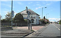
Wayside Inn Eastriggs
On B721 looking west
Image: © John Firth
Taken: 9 May 2012
0.13 miles
7
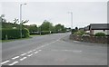
Annan Road (B721)
From the junction with Victoria Gardens.
Image: © Richard Sutcliffe
Taken: 19 May 2017
0.14 miles
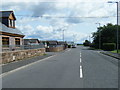
9
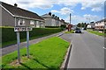
Pretoria Road, Eastriggs
One of the roads in the 'Commonwealth Village' of Eastriggs built to house workers in the large munitions factory created here in WWI.
Image: © Jim Barton
Taken: 8 Aug 2016
0.16 miles
10
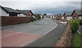
Victoria Gardens, Eastriggs
New housing, beside the Devil's Porridge Museum.
Image: © Richard Sutcliffe
Taken: 19 May 2017
0.17 miles