Annan Road, Eastriggs
Introduction
The photograph on this page of Annan Road, Eastriggs by Oliver Dixon as part of the Geograph project.
The Geograph project started in 2005 with the aim of publishing, organising and preserving representative images for every square kilometre of Great Britain, Ireland and the Isle of Man.

There are currently over 7.5m images from over 14,400 individuals and you can help contribute to the project by visiting https://www.geograph.org.uk
Annan Road, Eastriggs
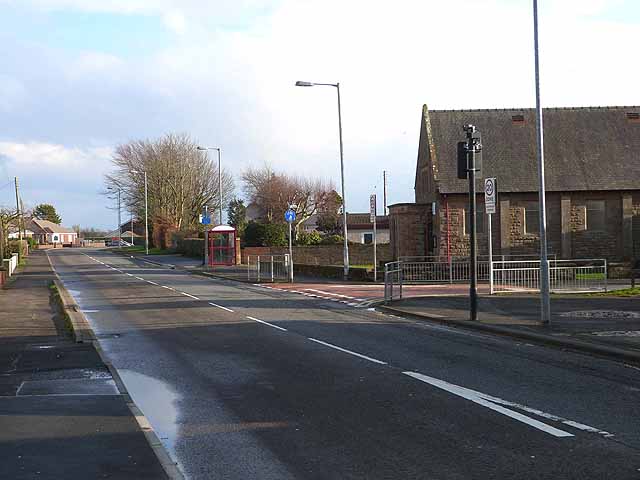
Image: © Oliver Dixon Taken: 29 Jan 2014
The B721 forms the spine of this village which grew up to house munitions workers during World War I. The main road carries National Cycle Network route 7 which follows a circuitous course between Inverness and Sunderland.
Images are licensed for reuse under creativecommons.org/licenses/by-sa/2.0
Image Location
Latitude
54.986392
Longitude
-3.1778