IMAGES TAKEN NEAR TO
Enoch Stone Drive, DERBY, DE21 6ZG
Introduction
This page details the photographs taken nearby to Enoch Stone Drive, DE21 6ZG by members of the Geograph project.
The Geograph project started in 2005 with the aim of publishing, organising and preserving representative images for every square kilometre of Great Britain, Ireland and the Isle of Man.

There are currently over 7.5m images from over14,400 individuals and you can help contribute to the project by visiting https://www.geograph.org.uk
Image Map
Images are licensed for reuse under creativecommons.org/licenses/by-sa/2.0
Notes
- Clicking on the map will re-center to the selected point.
- The higher the marker number, the further away the image location is from the centre of the postcode.
Image Listing (15 Images Found)
Images are licensed for reuse under creativecommons.org/licenses/by-sa/2.0
Image
Details
Distance
1
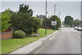
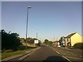
Derby Road
The end of old Derby Road, once the main road to Nottingham. The traffic island just visible connects to the link road which leads to the A52 now the main road to Nottingham. It is renamed the Brian Clough way. This is in honour of the football manager who managed both Derby County and Nottingham Forest leading both clubs to heights never since achieved.
Image: © Malcolm Neal
Taken: 20 Jun 2017
0.05 miles
2
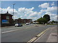
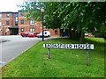
Roundabout, Derby Road
At the junction with Raynesway, the A5111, and Acorn Way.
Image: © Peter Barr
Taken: 11 Jul 2011
0.06 miles
5
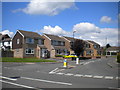
Oregon Way, Spondon
One of the many roads with American influenced names in western Spondon and eastern Chaddesden, Oregon Way serves one of the area's more recent housing developments to the north of Nottingham Road.
Image: © Richard Vince
Taken: 7 Jul 2012
0.08 miles
6
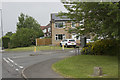
Oregon Way
This is the junction of Oregon Way and Derby Road in Chaddesden.
Image: © Malcolm Neal
Taken: 20 Jun 2017
0.09 miles
8
Lime Grove in Cherry Tree Hill
Looking towards Derby Road.
Image: © Jonathan Clitheroe
Taken: 20 Jan 2018
0.13 miles