Oregon Way, Spondon
Introduction
The photograph on this page of Oregon Way, Spondon by Richard Vince as part of the Geograph project.
The Geograph project started in 2005 with the aim of publishing, organising and preserving representative images for every square kilometre of Great Britain, Ireland and the Isle of Man.

There are currently over 7.5m images from over 14,400 individuals and you can help contribute to the project by visiting https://www.geograph.org.uk
Oregon Way, Spondon
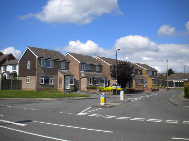
Image: © Richard Vince Taken: 7 Jul 2012
One of the many roads with American influenced names in western Spondon and eastern Chaddesden, Oregon Way serves one of the area's more recent housing developments to the north of Nottingham Road.
Images are licensed for reuse under creativecommons.org/licenses/by-sa/2.0
Image Location
Latitude
52.919395
Longitude
-1.424828