IMAGES TAKEN NEAR TO
Bandy Lane, DERBY, DE21 4TZ
Introduction
This page details the photographs taken nearby to Bandy Lane, DE21 4TZ by members of the Geograph project.
The Geograph project started in 2005 with the aim of publishing, organising and preserving representative images for every square kilometre of Great Britain, Ireland and the Isle of Man.

There are currently over 7.5m images from over14,400 individuals and you can help contribute to the project by visiting https://www.geograph.org.uk
Image Map
Images are licensed for reuse under creativecommons.org/licenses/by-sa/2.0
Notes
- Clicking on the map will re-center to the selected point.
- The higher the marker number, the further away the image location is from the centre of the postcode.
Image Listing (18 Images Found)
Images are licensed for reuse under creativecommons.org/licenses/by-sa/2.0
Image
Details
Distance
1
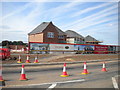
New housing development, Breadsall Hilltop
Curiously named Durose Country Park. On the north western side of the A608.
Image: © Richard Vince
Taken: 11 Aug 2018
0.10 miles
2
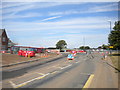
Roundabout under construction, Breadsall Hilltop
At the junction of Hill Top, Bishop's Drive (right), and the entrance to the new Durose Country Park housing development.
Image: © Richard Vince
Taken: 11 Aug 2018
0.11 miles
3
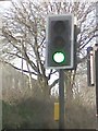
UK Puffin Crossing
UK Puffin Crossing on Mansfield Road, Derby.
Image: © gary
Taken: 7 Feb 2016
0.11 miles
4
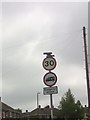
UK No goods vehicles over maximum gross weight shown (in tonnes) except for loading and unloading & 30 Speed Sign
UK No goods vehicles over maximum gross weight shown (in tonnes) except for loading and unloading & 30 Speed Sign on Bishops Drive, Derby Derbyshire.
Image: © gary
Taken: 30 May 2016
0.11 miles
5
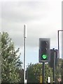
UK Puffin Crossing Green Traffic Light Signal
UK Puffin Crossing Green Traffic Light Signal on Mansfield Road, Derby Derbyshire.
Image: © gary
Taken: 29 Aug 2016
0.11 miles
6
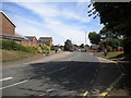
West end of Bishop's Drive, Breadsall Hilltop
Looking towards Oakwood.
Image: © Richard Vince
Taken: 11 Aug 2018
0.15 miles
7
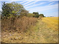
Public footpath to Breadsall north of Breadsall Hilltop
Image: © Richard Vince
Taken: 11 Aug 2018
0.17 miles
8
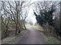
Great Northern Greenway
Route of the former Great Northern Railway which connected Derby City to Ilkeston and was known locally as the Friargate Line. This section at Breadsall Hilltop is now a recreational path and cycle track.
Image: © Jonathan Clitheroe
Taken: 14 Mar 2015
0.18 miles