Great Northern Greenway
Introduction
The photograph on this page of Great Northern Greenway by Jonathan Clitheroe as part of the Geograph project.
The Geograph project started in 2005 with the aim of publishing, organising and preserving representative images for every square kilometre of Great Britain, Ireland and the Isle of Man.

There are currently over 7.5m images from over 14,400 individuals and you can help contribute to the project by visiting https://www.geograph.org.uk
Great Northern Greenway
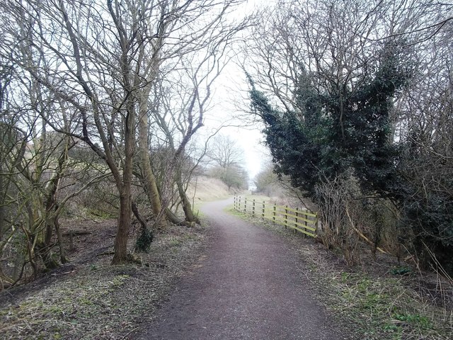
Image: © Jonathan Clitheroe Taken: 14 Mar 2015
Route of the former Great Northern Railway which connected Derby City to Ilkeston and was known locally as the Friargate Line. This section at Breadsall Hilltop is now a recreational path and cycle track.
Images are licensed for reuse under creativecommons.org/licenses/by-sa/2.0
Image Location
Latitude
52.945086
Longitude
-1.459162