
IMAGES TAKEN NEAR TO
Leicester Road, SWADLINCOTE, DE12 7JQ
Introduction
This page details the photographs taken nearby to Leicester Road, DE12 7JQ by members of the Geograph project.
The Geograph project started in 2005 with the aim of publishing, organising and preserving representative images for every square kilometre of Great Britain, Ireland and the Isle of Man.

There are currently over 7.5m images from over14,400 individuals and you can help contribute to the project by visiting https://www.geograph.org.uk
Image Map
Images are licensed for reuse under creativecommons.org/licenses/by-sa/2.0
Notes
- Clicking on the map will re-center to the selected point.
- The higher the marker number, the further away the image location is from the centre of the postcode.
Image Listing (22 Images Found)
Images are licensed for reuse under creativecommons.org/licenses/by-sa/2.0
Image
Details
Distance
1

Houses on Leicester Road
Seen from the footpath which crosses the fields to Packington. There are traces of ridge and furrow in this field.
Image: © Alan Murray-Rust
Taken: 13 Mar 2010
0.03 miles
2
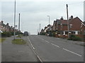
Leicester Road
The nearest houses to the right date from around 1920 with subsequent development coming after the Second World War.
Image: © Alan Murray-Rust
Taken: 13 Mar 2010
0.03 miles
3
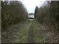
Footpath from Packington
The last stage follows a field access lane between the houses.
Image: © Alan Murray-Rust
Taken: 13 Mar 2010
0.08 miles
4
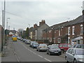
Leicester Road
Looking towards the centre of Measham. Earlier, this was known as Swepstone Lane.
Image: © Alan Murray-Rust
Taken: 13 Mar 2010
0.15 miles
5
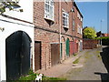
Underneath the arches
Curious garages built under Brickworks Cottages, off Bosworth Road.
Image: © cris sloan
Taken: 2 May 2007
0.18 miles
6
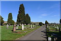
Measham Cemetery, Bosworth Road, Measham
Established in 1882 at a cost, from the Poor Rate, of 'a sum not exceeding £1900' https://www.meashamparishcouncil.gov.uk/cemetery.html
Image: © Tim Heaton
Taken: 25 Feb 2019
0.18 miles
7

Pond alongside Green Lane
This has the appearance of having been a marl pond, but is now simply a drinking place for livestock.
Image: © Alan Murray-Rust
Taken: 13 Mar 2010
0.18 miles
8
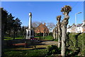
Measham Garden of Remembrance
The Garden is linked to a Centenary Field commemorating World War I
Image: © Tim Heaton
Taken: 25 Feb 2019
0.19 miles
9

Path to Measham
This is the last leg of a fairly long footpath route from the neighbouring village of Packington.
Image: © Alan Murray-Rust
Taken: 13 Mar 2010
0.19 miles
10

Green Lane
By name as well as by nature. Classified as a byway, there is still evidence of limited use by wheeled vehicles.
Image: © Alan Murray-Rust
Taken: 13 Mar 2010
0.20 miles