
IMAGES TAKEN NEAR TO
East Woodside, BEXLEY, DA5 3PG
Introduction
This page details the photographs taken nearby to East Woodside, DA5 3PG by members of the Geograph project.
The Geograph project started in 2005 with the aim of publishing, organising and preserving representative images for every square kilometre of Great Britain, Ireland and the Isle of Man.

There are currently over 7.5m images from over14,400 individuals and you can help contribute to the project by visiting https://www.geograph.org.uk
Image Map
Images are licensed for reuse under creativecommons.org/licenses/by-sa/2.0
Notes
- Clicking on the map will re-center to the selected point.
- The higher the marker number, the further away the image location is from the centre of the postcode.
Image Listing (13 Images Found)
Images are licensed for reuse under creativecommons.org/licenses/by-sa/2.0
Image
Details
Distance
3
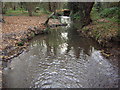
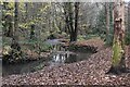
The River Shuttle in Bexley Park Wood
The Shuttle follows a natural meandering course though Bexley Park Wood. This photo is looking upstream.
Image: © Kenneth Yarham
Taken: 26 Nov 2006
0.18 miles
5
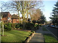
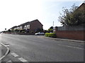
Parkwood Road, Bexley
This view is close to the junction with Camden Road, looking down the hill towards Bexley Village.
Image: © Marathon
Taken: 8 Feb 2011
0.20 miles
9
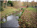
The River Shuttle approaching Bexley Park Wood
A tributary of the River Cray, the River Shuttle is followed by the Shuttle Riverway which links the Green Chain Walk at Avery Hill Park with the London LOOP at Hall Place. The photograph looks downstream with the woods beyond the bridge.
Image: © Kenneth Yarham
Taken: 26 Nov 2006
0.22 miles
10
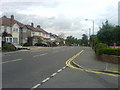
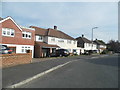
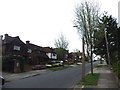
Hurst Road, Bexley
The road descends in both directions from this summit at the junction with Hurstwood Avenue
Image: © David Martin
Taken: 13 Jul 2010
0.22 miles