
IMAGES TAKEN NEAR TO
St. Leonards Close, WELLING, DA16 2DN
Introduction
This page details the photographs taken nearby to St. Leonards Close, DA16 2DN by members of the Geograph project.
The Geograph project started in 2005 with the aim of publishing, organising and preserving representative images for every square kilometre of Great Britain, Ireland and the Isle of Man.

There are currently over 7.5m images from over14,400 individuals and you can help contribute to the project by visiting https://www.geograph.org.uk
Image Map
Images are licensed for reuse under creativecommons.org/licenses/by-sa/2.0
Notes
- Clicking on the map will re-center to the selected point.
- The higher the marker number, the further away the image location is from the centre of the postcode.
Image Listing (59 Images Found)
Images are licensed for reuse under creativecommons.org/licenses/by-sa/2.0
Image
Details
Distance

2
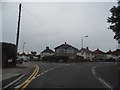
Hook Lane at the junction of Porthkerry Avenue
Image: © David Howard
Taken: 30 Aug 2015
0.06 miles
3
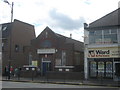
Welling Salvation Army Building
On the A207 Welling High Street.
Image: © David Anstiss
Taken: 7 Aug 2011
0.11 miles
5
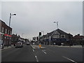
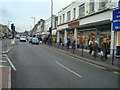
Bellegrove Road, Welling
Turn right for Hook Lane
Image: © David Howard
Taken: 30 Aug 2015
0.11 miles
6
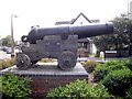
Russian Cannon from Crimean War, Welling
The cannon is located at Welling Corner
Image: © PAUL FARMER
Taken: 9 Jul 2011
0.12 miles
7
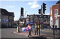
Crossing the Road with Balloons
The junction of Upper Wickham Lane and Welling High Street.
Image: © Des Blenkinsopp
Taken: 8 Mar 2012
0.12 miles
8
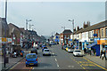
Welling High Street
Heading towards central London.
Image: © Robin Webster
Taken: 14 Mar 2012
0.12 miles
9
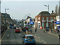
Road junction, Welling
The A207 is straight ahead, using the course of the Roman Watling Street. Right is the A209 to Woolwich. Viewed from an 89 bus.
Image: © Robin Webster
Taken: 14 Mar 2012
0.12 miles
10
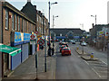
A209 approaching A207, Welling
Upper Wickham Lane - Coton Road bus stops are left and right.
Image: © Robin Webster
Taken: 14 Mar 2012
0.12 miles