IMAGES TAKEN NEAR TO
Cheswick Close, DARTFORD, DA1 4TE
Introduction
This page details the photographs taken nearby to Cheswick Close, DA1 4TE by members of the Geograph project.
The Geograph project started in 2005 with the aim of publishing, organising and preserving representative images for every square kilometre of Great Britain, Ireland and the Isle of Man.

There are currently over 7.5m images from over14,400 individuals and you can help contribute to the project by visiting https://www.geograph.org.uk
Image Map
Images are licensed for reuse under creativecommons.org/licenses/by-sa/2.0
Notes
- Clicking on the map will re-center to the selected point.
- The higher the marker number, the further away the image location is from the centre of the postcode.
Image Listing (48 Images Found)
Images are licensed for reuse under creativecommons.org/licenses/by-sa/2.0
Image
Details
Distance
1
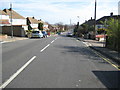
Crayford: Iron Mill Lane
Viewed at its junction with Iron Mill Place with the ever-present landmark of the Littlebrook Power Station chimney visible in the distance.
Image: © Nigel Cox
Taken: 2 Mar 2008
0.12 miles
2

Crayford Way, Crayford
Crayford Way links Crayford and Barnes Cray. Most of the houses along it are similar to these.
Image: © David Kemp
Taken: 15 Nov 2008
0.14 miles
3
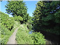
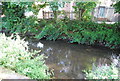
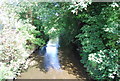
The London LOOP in Crayford
This is just downriver of Waterside Gardens in the centre of Crayford.
Image: © Marathon
Taken: 5 May 2020
0.17 miles
7
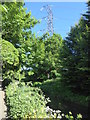
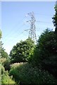
Pylon above the London LOOP alongside the River Cray
This is just downriver of Waterside Gardens in the centre of Crayford.
Image: © Marathon
Taken: 5 May 2020
0.18 miles