
IMAGES TAKEN NEAR TO
Tennyson Close, KENILWORTH, CV8 2TD
Introduction
This page details the photographs taken nearby to Tennyson Close, CV8 2TD by members of the Geograph project.
The Geograph project started in 2005 with the aim of publishing, organising and preserving representative images for every square kilometre of Great Britain, Ireland and the Isle of Man.

There are currently over 7.5m images from over14,400 individuals and you can help contribute to the project by visiting https://www.geograph.org.uk
Image Map
Images are licensed for reuse under creativecommons.org/licenses/by-sa/2.0
Notes
- Clicking on the map will re-center to the selected point.
- The higher the marker number, the further away the image location is from the centre of the postcode.
Image Listing (15 Images Found)
Images are licensed for reuse under creativecommons.org/licenses/by-sa/2.0
Image
Details
Distance
1
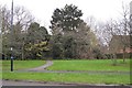
Greenspace off Dencer Drive, eastern Kenilworth
The path leads through informal open space to Warton Close, Casita Grove and beyond to Windy Arbour.
Image: © Robin Stott
Taken: 27 Nov 2009
0.12 miles
2
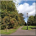
Toto, I have a feeling we're not in Kenilworth anymore
It's not Oz, though - but it could be Narnia. Best watch out for witches, either way. This is a continuation of Image], an old field path now enveloped by suburbia, which continues to expand south and east towards the A46 Kenilworth Bypass.
Image: © A J Paxton
Taken: 3 Oct 2023
0.12 miles
3
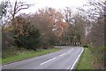
Sharp bend on Glasshouse Lane, Kenilworth
The entrance to Woodside is on the right.
Image: © Robin Stott
Taken: 27 Nov 2009
0.12 miles
4
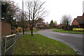
South end of Dencer Drive, Kenilworth
An artery of the eastern Kenilworth residential developments of the 1980s and 90s. Postbox ID: CV8 466.
Image: © Robin Stott
Taken: 27 Nov 2009
0.13 miles
5
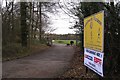
Entrance to Kenilworth Wardens sportground off Glasshouse Lane
The club established itself on this spacious site after selling their small ground in the town for residential development.
Image: © Robin Stott
Taken: 27 Nov 2009
0.16 miles
6
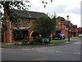
Warton Close, Kenilworth
Red brick houses (probably built in the 1980's) at the junction with Mayfield Drive.
Image: © John Brightley
Taken: 30 Aug 2010
0.16 miles
8
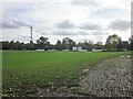
Kenilworth Wardens Sports Ground
Off Glasshouse Lane.
Image: © Ian Rob
Taken: 7 Oct 2020
0.20 miles
9
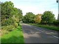
Glasshouse Lane, Kenilworth
Looking NNW up Glasshouse Lane from the entrance to Edwards Grove.
Image: © David P Howard
Taken: 22 Sep 2010
0.20 miles
10
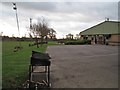
Kenilworth Wardens clubhouse and sportsground
Portable floodlights, left. Rocky Lane and Thickthorn Wood on the horizon.
Image: © Robin Stott
Taken: 27 Nov 2009
0.21 miles