South end of Dencer Drive, Kenilworth
Introduction
The photograph on this page of South end of Dencer Drive, Kenilworth by Robin Stott as part of the Geograph project.
The Geograph project started in 2005 with the aim of publishing, organising and preserving representative images for every square kilometre of Great Britain, Ireland and the Isle of Man.

There are currently over 7.5m images from over 14,400 individuals and you can help contribute to the project by visiting https://www.geograph.org.uk
South end of Dencer Drive, Kenilworth
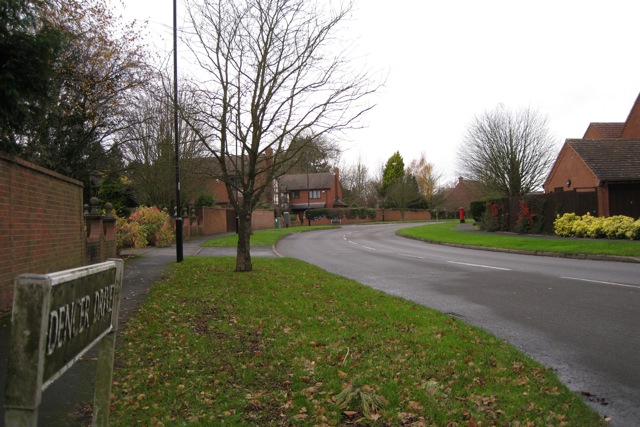
Image: © Robin Stott Taken: 27 Nov 2009
An artery of the eastern Kenilworth residential developments of the 1980s and 90s. Postbox ID: CV8 466.
Images are licensed for reuse under creativecommons.org/licenses/by-sa/2.0
Image Location
Latitude
52.341641
Longitude
-1.555208