
IMAGES TAKEN NEAR TO
Sovereign Close, KENILWORTH, CV8 1SQ
Introduction
This page details the photographs taken nearby to Sovereign Close, CV8 1SQ by members of the Geograph project.
The Geograph project started in 2005 with the aim of publishing, organising and preserving representative images for every square kilometre of Great Britain, Ireland and the Isle of Man.

There are currently over 7.5m images from over14,400 individuals and you can help contribute to the project by visiting https://www.geograph.org.uk
Image Map
Images are licensed for reuse under creativecommons.org/licenses/by-sa/2.0
Notes
- Clicking on the map will re-center to the selected point.
- The higher the marker number, the further away the image location is from the centre of the postcode.
Image Listing (8 Images Found)
Images are licensed for reuse under creativecommons.org/licenses/by-sa/2.0
Image
Details
Distance
1
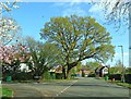
Oak Tree by the junction of Beechwood Croft and Rounds Hill
Image: © AJD
Taken: Unknown
0.10 miles
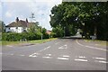
3
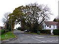
Rounds Hill
This is the view along Rounds Hill from its junction with Rouncil lane on the southern side of Kenilworth.
Image: © Nigel Mykura
Taken: 21 Nov 2010
0.14 miles
4
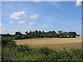
Rouncil Lane, Kenilworth
Looking west across the fields from the point at which the housing finishes towards a farm conversion in the trees.
Image: © David Stowell
Taken: 30 Aug 2005
0.14 miles
5
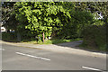
Gypsy Lane
Gypsy Lane off Rouncil Lane is a very narrow lane in a very desirable suburb of Kenilworth.
Image: © Malcolm Neal
Taken: 27 May 2017
0.19 miles
6
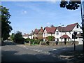
Rouncil Lane, Kenilworth
Looking west along Rouncil Lane at the junction with Mortimer Road.
Image: © David Stowell
Taken: 30 Aug 2005
0.22 miles
7
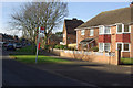
Dudley Road, Kenilworth
Part of an extensive estate of post-war local authority built housing.
Image: © Stephen McKay
Taken: 27 Jan 2008
0.23 miles
8
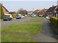
Beauchamp Road, Kenilworth
From the junction with Dudley Road.
Image: © Stephen McKay
Taken: 1 Apr 2007
0.25 miles