Rounds Hill
Introduction
The photograph on this page of Rounds Hill by Nigel Mykura as part of the Geograph project.
The Geograph project started in 2005 with the aim of publishing, organising and preserving representative images for every square kilometre of Great Britain, Ireland and the Isle of Man.

There are currently over 7.5m images from over 14,400 individuals and you can help contribute to the project by visiting https://www.geograph.org.uk
Rounds Hill
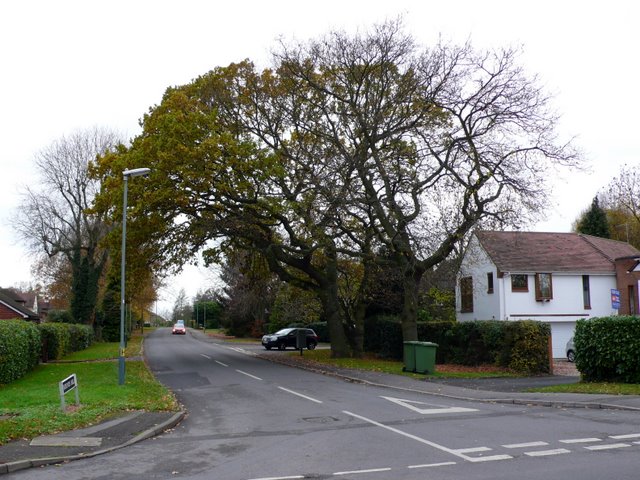
Image: © Nigel Mykura Taken: 21 Nov 2010
This is the view along Rounds Hill from its junction with Rouncil lane on the southern side of Kenilworth.
Images are licensed for reuse under creativecommons.org/licenses/by-sa/2.0
Image Location
Latitude
52.332666
Longitude
-1.584061