
IMAGES TAKEN NEAR TO
Fieldgate Lane, KENILWORTH, CV8 1BT
Introduction
This page details the photographs taken nearby to Fieldgate Lane, CV8 1BT by members of the Geograph project.
The Geograph project started in 2005 with the aim of publishing, organising and preserving representative images for every square kilometre of Great Britain, Ireland and the Isle of Man.

There are currently over 7.5m images from over14,400 individuals and you can help contribute to the project by visiting https://www.geograph.org.uk
Image Map
Images are licensed for reuse under creativecommons.org/licenses/by-sa/2.0
Notes
- Clicking on the map will re-center to the selected point.
- The higher the marker number, the further away the image location is from the centre of the postcode.
Image Listing (193 Images Found)
Images are licensed for reuse under creativecommons.org/licenses/by-sa/2.0
Image
Details
Distance
1
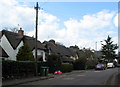
Fieldgate Lane
Thatched houses of indeterminate age in Fieldgate Lane.
Image: © E Gammie
Taken: 16 Apr 2012
0.04 miles
2
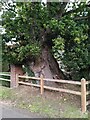
Bole of a pedunculate oak, Fieldgate Lane, Kenilworth
For more information and a full view of this impressive veteran tree, see Image
Image: © A J Paxton
Taken: 10 Oct 2023
0.07 miles
3
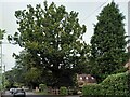
Veteran oak tree, Fieldgate Lane, Kenilworth
This massive tree stands in a front garden in Fieldgate Lane, but can be seen from the road. It appears to be the veteran tree recorded in this vicinity in the ancient tree inventory of the Woodland Trust, as a pedunculate oak, Quercus robur, with a girth of 6.4m at a height of 1.5m https://ati.woodlandtrust.org.uk/tree-search/tree?treeid=80214&from=3523&v=2422369&ml=map&z=17&nwLat=52.35465710336496&nwLng=-1.584782015103099&seLat=52.35117739113758&seLng=-1.5803402769744368#/ . For a close up of the bole or trunk, see Image For a photo of this tree leafless from 2012 see Image
Image: © A J Paxton
Taken: 10 Oct 2023
0.07 miles
4
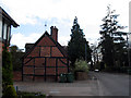
Cottage, Fieldgate Lane
A timber-frame and brick cottage, sadly on wheely-bin day.
Image: © E Gammie
Taken: 16 Apr 2012
0.07 miles
5
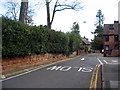
Old sandstone wall
A weathered sandstone block wall bordering Fieldgate Lane which is a one-way street northwards from Kenilworth High Street.
Image: © E Gammie
Taken: 16 Apr 2012
0.07 miles
6
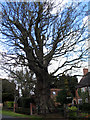
Veteran tree in Fieldgate Lane
According to the Woodland Trust ancient tree site, this tree has been recorded by the Warwickshire Biological Records Centre as a veteran pedunculate oak with a trunk girth of 6.40m (tree no. 80214).
Image: © E Gammie
Taken: 16 Apr 2012
0.08 miles
7
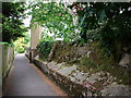
Footpath between Elmbank Road and Monmouth Close
Looking from the turn of the footpath out towards Elmbank Road, and showing old sandstone boundary wall - which continues at the other side of Elmbank Road. It seems to mark the northern boundaries of the gardens to the properties on High Street.
Image: © John Brightley
Taken: 26 May 2010
0.11 miles
8
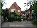
Monmouth Close, Kenilworth
Named after the Earls of Monmouth who occupied Kenilworth Castle from c1623-1650.
This new development was constructed by Laing Homes in the 1990's on the site of John Bausor butchers' abattoir.
A photograph of the old abattoir buildings can be found in 'Kenilworth in Camera Volume II' (Graham Gould and John Drew, Baron Books, 2008)
The butchers shop still exists on the High Street at the front of the site.
The path on the left is a public right of way which provides access to Elmbank Road.
Image: © John Brightley
Taken: 26 May 2010
0.12 miles
9
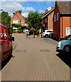
Monmouth Close, Kenilworth
From the north side of High Street, Monmouth Close leads to Butchers Row.
Image: © Jaggery
Taken: 8 Aug 2018
0.13 miles
10
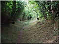
Love Lane, Kenilworth
This path links Upper Spring Lane with Coventry Road. Parliament Piece is behind the hedge on the right.
Image: © John Brightley
Taken: 17 Jul 2010
0.13 miles