Footpath between Elmbank Road and Monmouth Close
Introduction
The photograph on this page of Footpath between Elmbank Road and Monmouth Close by John Brightley as part of the Geograph project.
The Geograph project started in 2005 with the aim of publishing, organising and preserving representative images for every square kilometre of Great Britain, Ireland and the Isle of Man.

There are currently over 7.5m images from over 14,400 individuals and you can help contribute to the project by visiting https://www.geograph.org.uk
Footpath between Elmbank Road and Monmouth Close
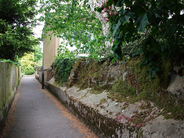
Image: © John Brightley Taken: 26 May 2010
Looking from the turn of the footpath out towards Elmbank Road, and showing old sandstone boundary wall - which continues at the other side of Elmbank Road. It seems to mark the northern boundaries of the gardens to the properties on High Street.
Images are licensed for reuse under creativecommons.org/licenses/by-sa/2.0
Image Location
Latitude
52.350554
Longitude
-1.583306