
IMAGES TAKEN NEAR TO
Elm Tree Avenue, COVENTRY, CV4 9EN
Introduction
This page details the photographs taken nearby to Elm Tree Avenue, CV4 9EN by members of the Geograph project.
The Geograph project started in 2005 with the aim of publishing, organising and preserving representative images for every square kilometre of Great Britain, Ireland and the Isle of Man.

There are currently over 7.5m images from over14,400 individuals and you can help contribute to the project by visiting https://www.geograph.org.uk
Image Map
Images are licensed for reuse under creativecommons.org/licenses/by-sa/2.0
Notes
- Clicking on the map will re-center to the selected point.
- The higher the marker number, the further away the image location is from the centre of the postcode.
Image Listing (55 Images Found)
Images are licensed for reuse under creativecommons.org/licenses/by-sa/2.0
Image
Details
Distance
1
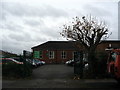
Church, Elm Tree Avenue
The Coventry Chinese Christian Church, formerly Lime Tree Park Methodist Church.
2008: Image]
2012: Image]
Image: © E Gammie
Taken: 29 Nov 2015
0.04 miles
2
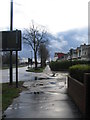
Fletchamstead Highway
The A45 on a damp Christmas Day. As can be seen, the weather was brightening a little. Immediately ahead is the Elm Tree Avenue junction and on the right are 1930s terraced double-bayed houses lining the west side of the road to the Tile Hill Lane junction which is dominated by the red bulk of a casino, formerly a cinema.
Image: © E Gammie
Taken: 25 Dec 2012
0.04 miles
3
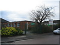
Former Lime Tree Park Methodist church
Now up for sale.
In sunnier times: Image (2008).
Image: © E Gammie
Taken: 25 Dec 2012
0.04 miles
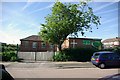
5
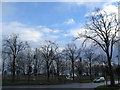
A bit of blue
A small forest of trees and traffic lights at the pedestrian crossing on the Fletchamstead Highway (A45). Blue sky, possibly big enough to repair a sailor's trousers, breaking through the grey just after midday on Christmas Day.
Image: © E Gammie
Taken: 25 Dec 2012
0.05 miles
6
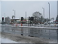
Broad Lane crossing, A45
The Dunchurch Highway (A45) in the foreground, looking towards the Chinese restaurant which opened in 2003 in the former Phoenix public house on the corner of Broad Lane.
A similar, snowier view in 1990: Image
The Wing Wah after alterations,2012: Image
Image: © E Gammie
Taken: 13 Jan 2010
0.06 miles
7
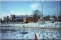
Snow covered Phoenix
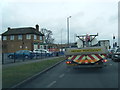
Sunday 9th December 1990, the morning after a major snowfall paralysed the roads in the area. A gritter is at work on the Dunchurch Highway (A45) at the Broad Lane crossroads in front of the Phoenix pub (now the Wing Wah). The A45 from here to Pickford Way was closed overnight, the undulating profile having been the undoing of several vehicles.
Similar view in 2010: http://www.geograph.org.uk/photo/1661503
Image: © E Gammie
Taken: 9 Dec 1990
0.07 miles
8
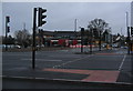
Altered crossroads, A45 and Broad Lane
The highway engineer's Christmas present to the local road users - a new oval roundabout with traffic lights and light-controlled pedestrian crossings to replace the previous traffic light controlled crossroads and take-your-life-in-your-hands pedestrian crossings.
Just after midday on a gloomy and drizzly Christmas Day.
Image: © E Gammie
Taken: 25 Dec 2015
0.08 miles
10
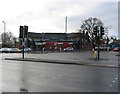
Restaurant, Broad Lane
Built contemporaneously with the A45 in the late 1930s, this building was originally a road-house style public house known over the years as the Phoenix, Happy Frenchman, New Phoenix, back to Phoenix then converted to Wing Wah restaurant, its current incarnation. Advertised as open on Christmas Day, a few cars have arrived in the car park behind it.
The Wing Wah has been remodelled during 2012. Compare its appearance with 2010: http://www.geograph.org.uk/photo/1661503
Image: © E Gammie
Taken: 25 Dec 2012
0.09 miles