
IMAGES TAKEN NEAR TO
Hermits Croft, COVENTRY, CV3 5HA
Introduction
This page details the photographs taken nearby to Hermits Croft, CV3 5HA by members of the Geograph project.
The Geograph project started in 2005 with the aim of publishing, organising and preserving representative images for every square kilometre of Great Britain, Ireland and the Isle of Man.

There are currently over 7.5m images from over14,400 individuals and you can help contribute to the project by visiting https://www.geograph.org.uk
Image Map
Images are licensed for reuse under creativecommons.org/licenses/by-sa/2.0
Notes
- Clicking on the map will re-center to the selected point.
- The higher the marker number, the further away the image location is from the centre of the postcode.
Image Listing (68 Images Found)
Images are licensed for reuse under creativecommons.org/licenses/by-sa/2.0
Image
Details
Distance
1
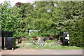
London Road Cemetery, Coventry
In 1887 the cemetery was extended south of the railway, visible here at the current formless entrance off St Christian's Road. A footbridge from the original cemetery, shown on the 1:25,000 map, is nowhere to be seen. The sound of trains is frequent but not intrusive as they slowly approach or leave Coventry station Image
Image: © Robin Stott
Taken: 8 May 2009
0.04 miles
2
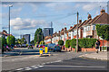
Mile Lane
c.1930s housing, first shown on the 1944 6 inch map, although the road itself is earlier, previous maps showing it as serving an area marked as Park Gardens and a nursery. In the distance is Parkside Infinity, a student accommodation development completed in 2021.
Image: © Ian Capper
Taken: 24 Sep 2021
0.05 miles
3
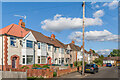
John Grace Street
c.1930s housing, first shown on the 1944 6 inch map.
Image: © Ian Capper
Taken: 24 Sep 2021
0.05 miles
4
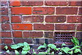
Benchmark on #20 John Grace Street
Ordnance Survey cut mark benchmark described on the Bench Mark Database at http://www.bench-marks.org.uk/bm86348
Image: © Roger Templeman
Taken: 6 Jul 2017
0.05 miles
5
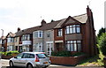
Houses on John Grace Street
There is an OS benchmark Image on the side of the right hand house at the junction of the house and its front garden brick wall
Image: © Roger Templeman
Taken: 6 Jul 2017
0.06 miles
6
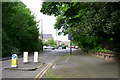
Quarryfield Lane, Cheylesmore
Recent housing on the site of manufacturing industry, centre. The boundary of London Road Cemetery, right.
Image: © Robin Stott
Taken: 8 May 2009
0.06 miles
7
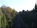
Railway towards Rugby
From the bridge on Mile Lane.
Image: © JThomas
Taken: 19 Nov 2016
0.06 miles
8

George VI postbox on John Grace Street
Postbox No. CV3 303.
See Image] for context.
Image: © JThomas
Taken: 19 Nov 2016
0.07 miles
9
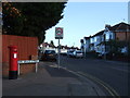
John Grace Street
Showing position of Postbox No. CV3 303.
See Image] for postbox.
Image: © JThomas
Taken: 19 Nov 2016
0.07 miles
10
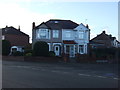
Houses on junction of Mile Lane, Martyrs Close
Image: © JThomas
Taken: 19 Nov 2016
0.07 miles