
IMAGES TAKEN NEAR TO
Fountain Gardens, WARWICK, CV35 9EG
Introduction
This page details the photographs taken nearby to Fountain Gardens, CV35 9EG by members of the Geograph project.
The Geograph project started in 2005 with the aim of publishing, organising and preserving representative images for every square kilometre of Great Britain, Ireland and the Isle of Man.

There are currently over 7.5m images from over14,400 individuals and you can help contribute to the project by visiting https://www.geograph.org.uk
Image Map
Images are licensed for reuse under creativecommons.org/licenses/by-sa/2.0
Notes
- Clicking on the map will re-center to the selected point.
- The higher the marker number, the further away the image location is from the centre of the postcode.
Image Listing (64 Images Found)
Images are licensed for reuse under creativecommons.org/licenses/by-sa/2.0
Image
Details
Distance
1
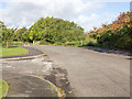
End of Warwick Road
This was the old main road out of Wellesbourne going north before the new A429 bypass was constructed. This road now ends in a barrier, and becomes a cycleway and footpath.
The marker for the footpath to Newbold Pacey can be seen centre right.
Image: © David P Howard
Taken: 29 Oct 2013
0.04 miles
2
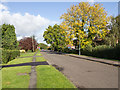
Warwick Road
This was the old main road out of Wellesbourne going north before the new A429 bypass was constructed. This road now ends in a barrier just out of view, and becomes a cycleway and footpath.
Image: © David P Howard
Taken: 29 Oct 2013
0.06 miles
3
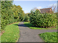
Footpath to Newbold Pacey
The footpath skirts the edge of the housing estate to the north of Wellesbourne village.
Image: © David P Howard
Taken: 29 Oct 2013
0.08 miles
4
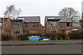
New houses on Warwick Road
An infill development of two new houses nears completion.
Image: © David P Howard
Taken: 6 Jan 2016
0.08 miles
5
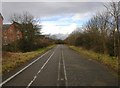
The old Warwick Road, Wellesbourne
Looking NW up what was the main A429 road from Wellesbourne to Warwick before the bypass was built. It is now a cycleway and footpath. You can still see the double white lines and the cats eyes down the middle.
Image: © David P Howard
Taken: 27 Feb 2010
0.09 miles
6
A429 Wellesbourne bypass
The A429 heading north away from Wellesbourne.
Image: © David P Howard
Taken: 29 Oct 2013
0.11 miles
7
Hammond Green
A residential road off Charlecote Road.
Image: © David P Howard
Taken: 29 Oct 2013
0.12 miles
8
Approach to the roundabout on the A429
Image: © Keith Williams
Taken: 4 Jan 2009
0.13 miles
9
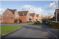
Junction of Frost Road, Daniell Road and Hopkins Way
Housing estate at the northern edge of Wellesbourne village.
Image: © David P Howard
Taken: 29 Oct 2013
0.14 miles
10
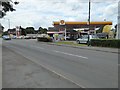
Shell Petrol filling station
Shell Petrol filling station in Wellesbourne.
Image: © Philip Halling
Taken: 5 Aug 2016
0.15 miles