The old Warwick Road, Wellesbourne
Introduction
The photograph on this page of The old Warwick Road, Wellesbourne by David P Howard as part of the Geograph project.
The Geograph project started in 2005 with the aim of publishing, organising and preserving representative images for every square kilometre of Great Britain, Ireland and the Isle of Man.

There are currently over 7.5m images from over 14,400 individuals and you can help contribute to the project by visiting https://www.geograph.org.uk
The old Warwick Road, Wellesbourne
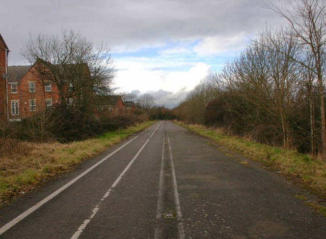
Image: © David P Howard Taken: 27 Feb 2010
Looking NW up what was the main A429 road from Wellesbourne to Warwick before the bypass was built. It is now a cycleway and footpath. You can still see the double white lines and the cats eyes down the middle.
Images are licensed for reuse under creativecommons.org/licenses/by-sa/2.0
Image Location
Latitude
52.201898
Longitude
-1.595964