
IMAGES TAKEN NEAR TO
Meadfoot Road, COVENTRY, CV3 3DW
Introduction
This page details the photographs taken nearby to Meadfoot Road, CV3 3DW by members of the Geograph project.
The Geograph project started in 2005 with the aim of publishing, organising and preserving representative images for every square kilometre of Great Britain, Ireland and the Isle of Man.

There are currently over 7.5m images from over14,400 individuals and you can help contribute to the project by visiting https://www.geograph.org.uk
Image Map
Images are licensed for reuse under creativecommons.org/licenses/by-sa/2.0
Notes
- Clicking on the map will re-center to the selected point.
- The higher the marker number, the further away the image location is from the centre of the postcode.
Image Listing (15 Images Found)
Images are licensed for reuse under creativecommons.org/licenses/by-sa/2.0
Image
Details
Distance
1
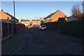
Lorenzo Close, Willenhall, southeast Coventry
Image: © Robin Stott
Taken: 5 Jan 2017
0.07 miles
2
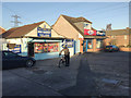
St James' Lane Mini Market, Hello! Chicken and Happy Cod, Willenhall, southeast Coventry
Image: © Robin Stott
Taken: 5 Jan 2017
0.09 miles
3
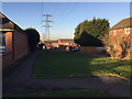
Power lines over Potton Close, Willenhall, southeast Coventry
Image: © Robin Stott
Taken: 5 Jan 2017
0.09 miles
4
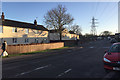
Middle Ride and power lines, Willenhall, southeast Coventry
Middle Ride – recalling a past landscape perhaps: http://www.coventrysociety.org.uk/coventry-neighbourhoods/willenhall.html
Image: © Robin Stott
Taken: 5 Jan 2017
0.15 miles
5
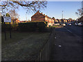
East on Remembrance Road, Willenhall, southeast Coventry
Image: © Robin Stott
Taken: 5 Jan 2017
0.16 miles
6
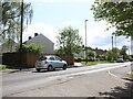
St James' Lane
View west along St James with the cul de sac of Bridgecote going off on the left and St James Court just visible in the near front foreground.
Image: © Nigel Mykura
Taken: 15 May 2023
0.17 miles
7
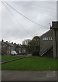
Willenhall, Bridgecote
Council housing development off Middle Ride.
Image: © Mike Faherty
Taken: 21 Nov 2010
0.17 miles
8
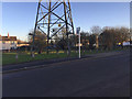
Open space with Pylon by Middle Ride, Willenhall, southeast Coventry
There are open spaces of one sort or another below the power lines, a wayleave for access.
Image: © Robin Stott
Taken: 5 Jan 2017
0.18 miles
9
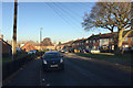
Mary Slessor Street, Willenhall, southeast Coventry
Image: © Robin Stott
Taken: 5 Jan 2017
0.18 miles
10
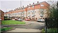
Tarquin Close, Willenhall, Coventry
Formerly known as Ivy Walk.
Image: © A J Paxton
Taken: Unknown
0.19 miles