
IMAGES TAKEN NEAR TO
Church Court, Cubbington Road, LEAMINGTON SPA, CV32 7DU
Introduction
This page details the photographs taken nearby to Church Court, Cubbington Road, CV32 7DU by members of the Geograph project.
The Geograph project started in 2005 with the aim of publishing, organising and preserving representative images for every square kilometre of Great Britain, Ireland and the Isle of Man.

There are currently over 7.5m images from over14,400 individuals and you can help contribute to the project by visiting https://www.geograph.org.uk
Image Map
Images are licensed for reuse under creativecommons.org/licenses/by-sa/2.0
Notes
- Clicking on the map will re-center to the selected point.
- The higher the marker number, the further away the image location is from the centre of the postcode.
Image Listing (37 Images Found)
Images are licensed for reuse under creativecommons.org/licenses/by-sa/2.0
Image
Details
Distance
1
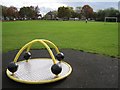
The Holt greenspace, Lillington, Leamington Spa
On a weekday. It has an area of about 1.8 ha. It fronts on to Cubbington Road, seen here in the distance.
Image: © Robin Stott
Taken: 22 Oct 2009
0.02 miles
2
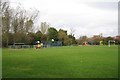
The Holt play area, Lillington, Leamington Spa
The Holt takes its name from an estate and a road nearby. It is an area of about 1.8 ha on the north side of Cubbington Road.
Image: © Robin Stott
Taken: 22 Oct 2009
0.05 miles
3
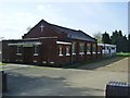
Lillington Free Church Hall
Next to the church on Cubbington Road.
Image: © Ian Rob
Taken: 9 Apr 2011
0.08 miles
4
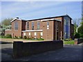
Lillington Free Church
United Reformed Church on Cubbington Road.
Image: © Ian Rob
Taken: 9 Apr 2011
0.08 miles
5

Cubbington Road, Lillington, Leamington Spa
Behind the trees is the Lillington Free Church. The premises on the right of the picture can be seen fully in Image
Image: © Robin Stott
Taken: 22 Oct 2009
0.08 miles
6
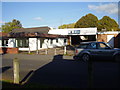
Closed down
A former garage and car salesroom in Lime Avenue.
Image: © Anthony Vosper
Taken: 27 Oct 2011
0.08 miles
7
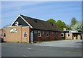
Lillington Social Club
Social Club in Lime Avenue.
Image: © Ian Rob
Taken: 9 Apr 2011
0.11 miles
8
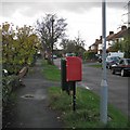
Highland Road, New Cubbington
The postbox ID is CV32 189. Highland Road was one of the earliest parts of New Cubbington to be developed, from the mid-1920s. The extension of the estate was planned in 1927 but scarcely developed until after the second world war. All the roads are named after Scottish places and people "because of the ancestry of the landowners".
Image: © Robin Stott
Taken: 24 Oct 2009
0.11 miles
9
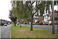
Cubbington Road, Lillington, Leamington Spa
Looking towards Leamington and the junction with Highland Road.
Image: © Robin Stott
Taken: 22 Oct 2009
0.12 miles
10
Lillington-Tesco Express
Formerly the Walnut Tree Public House on the corner of Crown Way.Image
Image: © Ian Rob
Taken: 9 Apr 2011
0.12 miles