Highland Road, New Cubbington
Introduction
The photograph on this page of Highland Road, New Cubbington by Robin Stott as part of the Geograph project.
The Geograph project started in 2005 with the aim of publishing, organising and preserving representative images for every square kilometre of Great Britain, Ireland and the Isle of Man.

There are currently over 7.5m images from over 14,400 individuals and you can help contribute to the project by visiting https://www.geograph.org.uk
Highland Road, New Cubbington
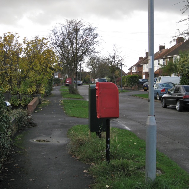
Image: © Robin Stott Taken: 24 Oct 2009
The postbox ID is CV32 189. Highland Road was one of the earliest parts of New Cubbington to be developed, from the mid-1920s. The extension of the estate was planned in 1927 but scarcely developed until after the second world war. All the roads are named after Scottish places and people "because of the ancestry of the landowners".
Images are licensed for reuse under creativecommons.org/licenses/by-sa/2.0
Image Location
Latitude
52.306449
Longitude
-1.521827