
IMAGES TAKEN NEAR TO
St. Margaret Road, COVENTRY, CV1 2BT
Introduction
This page details the photographs taken nearby to St. Margaret Road, CV1 2BT by members of the Geograph project.
The Geograph project started in 2005 with the aim of publishing, organising and preserving representative images for every square kilometre of Great Britain, Ireland and the Isle of Man.

There are currently over 7.5m images from over14,400 individuals and you can help contribute to the project by visiting https://www.geograph.org.uk
Image Map
Images are licensed for reuse under creativecommons.org/licenses/by-sa/2.0
Notes
- Clicking on the map will re-center to the selected point.
- The higher the marker number, the further away the image location is from the centre of the postcode.
Image Listing (88 Images Found)
Images are licensed for reuse under creativecommons.org/licenses/by-sa/2.0
Image
Details
Distance
1
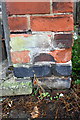
Benchmark on pavement end of wall at #42 St George's Road
Ordnance Survey cut mark benchmark described on the Bench Mark Database at www.bench-marks.org.uk/bm87331
Image: © Roger Templeman
Taken: 8 Aug 2017
0.02 miles
2
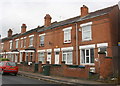
St George's Road houses
There is an Ordnance Survey benchmark Image on the wall pier at the road end of the wall abutting the right hand side of #42
Image: © Roger Templeman
Taken: 8 Aug 2017
0.03 miles
3
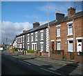
Coventry-Gulson Road
Terraced houses in Gulson Road.
Image: © Ian Rob
Taken: 14 Apr 2008
0.07 miles
4
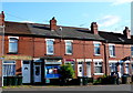
General Store, Northfield Rd
This must be one of the very few stores left that is still located on its own in a row of small terraced houses. The shop is directly opposite St Margaret's Rd. It would appear that the house next door has been converted from a shop back to a house.
Image: © Nigel Mykura
Taken: 11 Jun 2011
0.10 miles
5
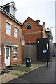
#104 and development site on west side of St George's Road
Ordnance Survey documents indicate that in 1959 a benchmark levelled at 86.688m above Newlyn Datum was verified on a wall at this location
Image: © Luke Shaw
Taken: 8 Aug 2017
0.11 miles
6
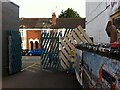
Exit from Fargo Village onto Grafton Street, Coventry
Or the entrance from Grafton Street, if you are coming that way to Fargo Village, a bohemian business centre on Far Gosford Street, from which it takes its name. The premises on the right area PopBangColour, the studio of an artist, Ian Cook, who paints using radio-controlled model cars. https://www.popbangcolour.com/about-1
Image: © A J Paxton
Taken: 24 Jul 2021
0.12 miles
7
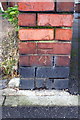
Benchmark on the road end of the party wall between Nos. 30 and 32 Binley Road
Ordnance Survey cut mark benchmark described on the Bench Mark Database at www.bench-marks.org.uk/bm87340
Image: © Roger Templeman
Taken: 8 Aug 2017
0.12 miles
8
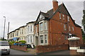
Houses on Binley Road
There is an Ordnance Survey benchmark Image on the road end of the wall running beside the nearest house
Image: © Roger Templeman
Taken: 8 Aug 2017
0.12 miles
9
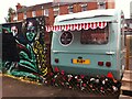
Mobile hairdressing salon, Fargo Village
Hairdresser's caravan at Fargo Village retail & leisure site, Far Gosford Street.
Image: © A J Paxton
Taken: 6 Jul 2018
0.13 miles
10
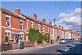
Northfield Road
Early 20th Century housing, first appearing on the 1914 25 inch map.
Image: © Ian Capper
Taken: 24 Sep 2021
0.14 miles