
IMAGES TAKEN NEAR TO
Castle Avenue, HYTHE, CT21 5HD
Introduction
This page details the photographs taken nearby to Castle Avenue, CT21 5HD by members of the Geograph project.
The Geograph project started in 2005 with the aim of publishing, organising and preserving representative images for every square kilometre of Great Britain, Ireland and the Isle of Man.

There are currently over 7.5m images from over14,400 individuals and you can help contribute to the project by visiting https://www.geograph.org.uk
Image Map
Images are licensed for reuse under creativecommons.org/licenses/by-sa/2.0
Notes
- Clicking on the map will re-center to the selected point.
- The higher the marker number, the further away the image location is from the centre of the postcode.
Image Listing (31 Images Found)
Images are licensed for reuse under creativecommons.org/licenses/by-sa/2.0
Image
Details
Distance
1
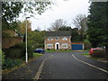
Quarry Road, Hythe
This close of houses, leads off Castle Road.
It is in a former quarry site.
Image: © David Anstiss
Taken: 13 Nov 2010
0.07 miles
2
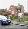
24, Seaton Avenue
Planning permission has been granted, with conditions, by Folkestone and Hythe District Council under application number 22/1684/FH for the "erection of front and rear extensions at ground and first floor and conversion of garage to living accommodation".
Taken during a photographic outing on New Year's Day afternoon.
Image: © John Baker
Taken: 1 Jan 2023
0.09 miles
3
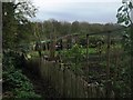
Allotments on Castle Road
Beside a footpath from Castle Road towards Tanner's Hill.
In a former quarry site.
Image: © David Anstiss
Taken: 13 Nov 2010
0.15 miles
4

View From Castle Road, Hythe, Kent
View from near the top of the hill, looking over the town and towards the sea in the direction of Dymchurch.
Image: © Peter Trimming
Taken: 17 Jun 2009
0.18 miles
5
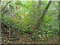
Quarry Walk and steps
A tree lined walk leads through a former quarry from Castle Road to Tanner's Hill. The steps on the left, lead up to a playing field near Deeds Close.
Image: © David Anstiss
Taken: 13 Nov 2010
0.20 miles
6
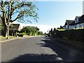
Saltwood - 2015
Saltwood, Kent, Brockhill Road
Image: © Helmut Zozmann
Taken: 8 Aug 2015
0.21 miles
7

Path at the Bottom of Castle Road, Hythe, Kent
Now blocked off to traffic, and used as a footpath. On this section of Castle Road, the gradient would have made life "interesting" for drivers.
Image: © Peter Trimming
Taken: 17 Jun 2009
0.21 miles
8
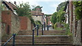
Church Hill, Hythe, Kent
Looking up the hill from near the bottom. A little research suggests that Church Hill was always a path, rather than a road.
Image: © Peter Trimming
Taken: 17 Jun 2009
0.21 miles
9
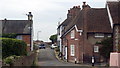
North Road, Hythe, Kent
Looking towards the west, with Castle Road on the right, and Church Hill on the left.
Image: © Peter Trimming
Taken: 17 Jun 2009
0.22 miles
10
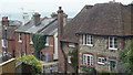
Houses Near North Road, Hythe, Kent
The houses to the right of picture are at the bottom of Castle Road, the houses to the left of picture are at the top of Church Hill. North Road runs at right angles to these roads.
Image: © Peter Trimming
Taken: 17 Jun 2009
0.22 miles