Church Hill, Hythe, Kent
Introduction
The photograph on this page of Church Hill, Hythe, Kent by Peter Trimming as part of the Geograph project.
The Geograph project started in 2005 with the aim of publishing, organising and preserving representative images for every square kilometre of Great Britain, Ireland and the Isle of Man.

There are currently over 7.5m images from over 14,400 individuals and you can help contribute to the project by visiting https://www.geograph.org.uk
Church Hill, Hythe, Kent
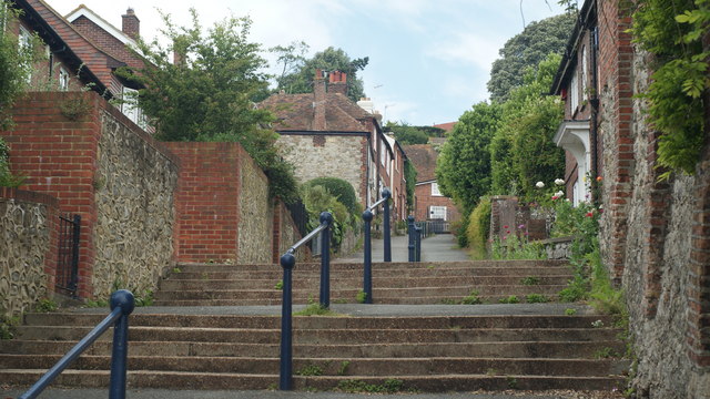
Image: © Peter Trimming Taken: 17 Jun 2009
Looking up the hill from near the bottom. A little research suggests that Church Hill was always a path, rather than a road.
Images are licensed for reuse under creativecommons.org/licenses/by-sa/2.0
Image Location
Latitude
51.073364
Longitude
1.082965